Åtorpsbron, bro över Säveån i Lerum i Västergötland
Location: Lerum Municipality
GPS coordinates: 57.76928,12.26499
Latest update: November 20, 2025 04:37
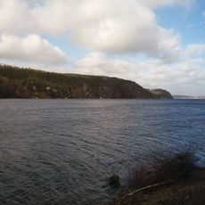
Aspen
1.8 km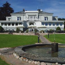
Aspenäs mansion
2 km
Lerums kyrka
1.3 km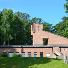
Aspenkyrkan
2.5 km
Lerådalen
3 km
Säveån-Hedefors
2.2 km
Hulan
2.4 km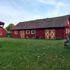
Dergårdens hembygdspark
833 m
Nyebron
452 m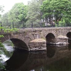
Wamme bro
573 m
Häradsbron
299 m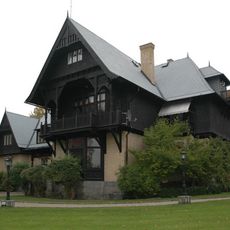
Villa Kastenhof
1.4 km
Aspenäsbron
664 m
Lerum 66:1
501 m
Lerum 66:3
477 m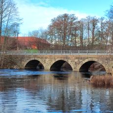
Holma bro
1.3 km
Lerum 140:1
1.7 km
Lerum 66:2
454 m
Lerum 52:1
450 m
Lerum 34:1
1.4 km
Lerums kommunhus
334 m
Frödingsbron
193 m
Lerum 96:3
2.1 km
Lerum 114:1
2.7 km
Aspenskyrkan
2.5 km
Lerum 96:1
2.1 km
Lerum 29:1
2.1 km
Lerum 26:1
1.9 kmReviews
Visited this place? Tap the stars to rate it and share your experience / photos with the community! Try now! You can cancel it anytime.
Discover hidden gems everywhere you go!
From secret cafés to breathtaking viewpoints, skip the crowded tourist spots and find places that match your style. Our app makes it easy with voice search, smart filtering, route optimization, and insider tips from travelers worldwide. Download now for the complete mobile experience.

A unique approach to discovering new places❞
— Le Figaro
All the places worth exploring❞
— France Info
A tailor-made excursion in just a few clicks❞
— 20 Minutes