
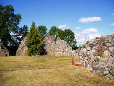
Kronobäcks klosterruin, church building in Mönsterås Municipality, Sweden
Location: Mönsterås Municipality
GPS coordinates: 57.01869,16.43886
Latest update: March 3, 2025 10:52
Mönsterås Municipality
5.5 km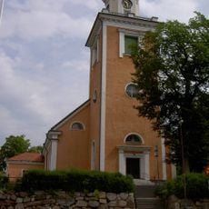
Mönsterås Church
2.7 km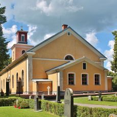
Ålems kyrka
7.3 km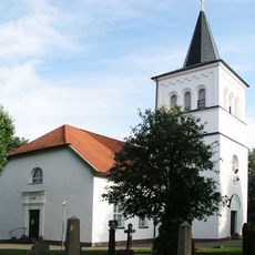
Påskallavik Church
15.7 km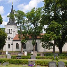
Fliseryds kyrka
15.6 km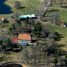
Råsnäs herrgård
3.1 km
Långemåla Church
17.2 km
Ålem municipality
8.4 km
Källströmsgården
16.7 km
Lövö
5.3 km
Flieseryd municipality
16.1 km
Harbergska gården
11.4 km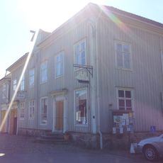
Hullgrenska gården
11.4 km
Norra Möre och Stranda domsagas tingslag
1.3 km
Stranda tingslag
1.3 km
Modeerska handelsgården
2.9 km
Pata kapell
9.8 km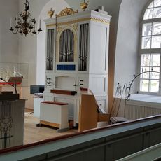
Påskallaviks kyrkas orgel by Johannes Magnusson
15.7 km
Mönsterås 270:1
7 km
Industri- och sopbilsmuseum
7.8 km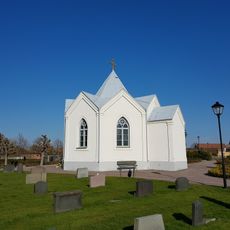
Gamla kyrkogården
3.2 km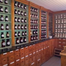
Mönsterås Apoteksmuseum
1.9 km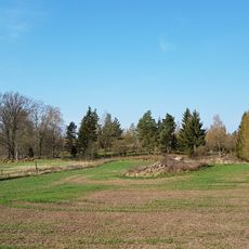
Mönsterås 36:1
7.3 km
Mönsterås 271:2
6.9 km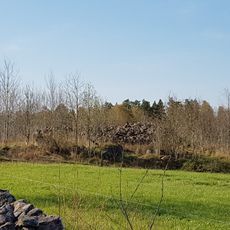
Mönsterås 10:1
7.2 km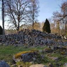
Mönsterås 271:3
6.9 km
Mönsterås 271:1
6.9 km
Mönsterås 269:1
7.1 kmReviews
Visited this place? Tap the stars to rate it and share your experience / photos with the community! Try now! You can cancel it anytime.
Discover hidden gems everywhere you go!
From secret cafés to breathtaking viewpoints, skip the crowded tourist spots and find places that match your style. Our app makes it easy with voice search, smart filtering, route optimization, and insider tips from travelers worldwide. Download now for the complete mobile experience.

A unique approach to discovering new places❞
— Le Figaro
All the places worth exploring❞
— France Info
A tailor-made excursion in just a few clicks❞
— 20 Minutes