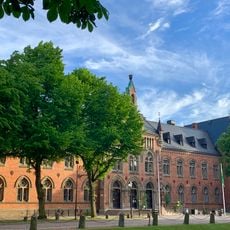
Härlunda kyrka, cemetery in Skara Municipality, Västra Götaland County, Sweden
Location: Skara Municipality
GPS coordinates: 58.32878,13.40851
Latest update: November 24, 2025 10:48
Gemeinde Skara
4.5 km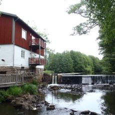
Herrtorps kvarn
869 m
Björnöns domänreservat
3.8 km
Syltängarnas domänreservat
4.4 km
Bjärka 29:1
5.2 km
Höga Stenarna
5.3 km
Bjärka 18:1
4.9 km
Stenum 1:1
4.2 km
Härlunda Church
15 m
Bjärka 65:1
5.2 km
Höga Stenarna
5.3 km
Bjärka 17:1
4.8 km
Härlunda 10:2
2.2 km
Bjärka 15:2
5.1 km
Marum 3:1
5.3 km
Härlunda kyrkoruin
3 m
Vinköl 61:1
5 km
Härlunda 7:1
2.3 km
Bjärka 22:1
4.7 km
Bjärka 15:1
5.2 km
Marum 2:1
4.9 km
Höga Stenarna
5.4 km
Härlunda 10:1
2.2 km
Älvasten
4.7 km
Bjärka 14:1
5 km
Bjärka 2:1
5.3 km
Härlunda 4:1
1.5 km
Bjärka 17:2
4.8 kmReviews
Visited this place? Tap the stars to rate it and share your experience / photos with the community! Try now! You can cancel it anytime.
Discover hidden gems everywhere you go!
From secret cafés to breathtaking viewpoints, skip the crowded tourist spots and find places that match your style. Our app makes it easy with voice search, smart filtering, route optimization, and insider tips from travelers worldwide. Download now for the complete mobile experience.

A unique approach to discovering new places❞
— Le Figaro
All the places worth exploring❞
— France Info
A tailor-made excursion in just a few clicks❞
— 20 Minutes