Högstena 2:1, stenkammargrav i Västergötland
Location: Falköping Municipality
GPS coordinates: 58.23707,13.71723
Latest update: November 23, 2025 04:35

Skogastorp
833 m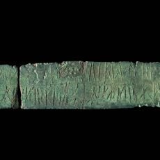
Västergötlands runinskrifter 216
502 m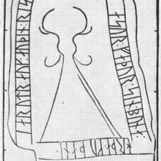
Västergötlands runic inscription 92
527 m
Södra Kyrketorp 53:1
374 m
Högstena 3:1
325 m
Södra Kyrketorp 1:1
896 m
Södra Kyrketorp 7:1
698 m
Södra Kyrketorp 51:2
829 m
"Kuhögen"
627 m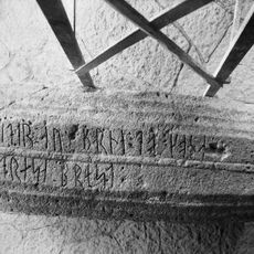
Västergötlands runinskrifter 91
530 m
Södra Kyrketorp 8:1
696 m
Högstena 8:1
903 m
Södra Kyrketorp 25:2
842 m
Södra Kyrketorp 25:3
839 m
Södra Kyrketorp 29:1
666 m
Högstena 22:1
527 m
Södra Kyrketorp 50:1
531 m
Södra Kyrketorp 2:1
775 m
Södra Kyrketorp 51:3
830 m
Södra Kyrketorp 8:2
704 m
Södra Kyrketorp 51:1
828 m
Södra Kyrketorp 4:1
885 m
Högstena 5:1
531 m
Södra Kyrketorp 32:1
820 m
Högstena 4:1
510 m
Södra Kyrketorp 7:2
701 m
Högstena 7:1
843 m
Södra Kyrketorp 25:1
839 mReviews
Visited this place? Tap the stars to rate it and share your experience / photos with the community! Try now! You can cancel it anytime.
Discover hidden gems everywhere you go!
From secret cafés to breathtaking viewpoints, skip the crowded tourist spots and find places that match your style. Our app makes it easy with voice search, smart filtering, route optimization, and insider tips from travelers worldwide. Download now for the complete mobile experience.

A unique approach to discovering new places❞
— Le Figaro
All the places worth exploring❞
— France Info
A tailor-made excursion in just a few clicks❞
— 20 Minutes