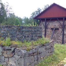
Kana, lägenhetsbebyggelse i Värmland (Färnebo 453:1)
Location: Filipstad Municipality
GPS coordinates: 59.82294,13.90191
Latest update: November 21, 2025 01:04
Bosjö bruk
715 m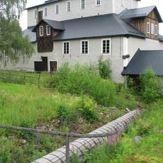
Motjärnshyttan
12.4 km
Svartån
5.8 km
Nordmarksmyrarna
8.9 km
Sunnemo 26:1
12.8 km
Nordmarks gruvmuseum
11.4 km
Sunnemo 1:5
8.5 km
Erik litens torp
1.9 km
Sunnemo 1:3
8.6 km
Koltorp
3 km
Pålstorpet
7.1 km
Bjursjötorp
5 km
Sunnemo 1:1
8.6 km
Sunnemo 1:4
8.6 km
Sunnemo 63:1
7.7 km
Prästsätrarna
7.6 km
Sunnemo 65:1
7.6 km
Sunnemo 67:1
5.9 km
Sunnemo 26:2
12.9 km
Lassätrarna
4.3 km
Sunnemo 152:1
10.8 km
Sunnemo 153:1
11.2 km
Kärns gård
1.9 km
Nordmark 148:1
10.3 km
Folkets Park
11.9 km
Nordmarksbergs gruvfält
12.5 km
Stöpet
9.5 km
Stöpet
9.5 kmReviews
Visited this place? Tap the stars to rate it and share your experience / photos with the community! Try now! You can cancel it anytime.
Discover hidden gems everywhere you go!
From secret cafés to breathtaking viewpoints, skip the crowded tourist spots and find places that match your style. Our app makes it easy with voice search, smart filtering, route optimization, and insider tips from travelers worldwide. Download now for the complete mobile experience.

A unique approach to discovering new places❞
— Le Figaro
All the places worth exploring❞
— France Info
A tailor-made excursion in just a few clicks❞
— 20 Minutes