
Kusforsen
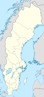
Location: Västerbotten County
Elevation above the sea: 197 m
GPS coordinates: 64.93333,19.96667
Latest update: April 23, 2025 19:17
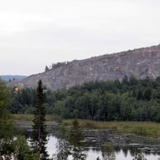
Björkdalsgruvan
29.6 km
Norsjö Church
23.2 km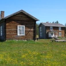
Rismyrliden
28.7 km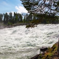
Mårdselforsen
45.1 km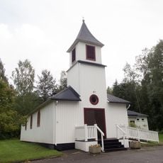
Petiknäs Church
4.2 km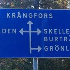
Femvägaskälet
26.7 km
Malå-Storforsen
42.3 km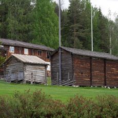
Glommersträsks hembygdsmuseum
40 km
Ersmark Church
44.6 km
Vitbergen
36.3 km
Gallejaur
35.8 km
Svansele dammängar
11.4 km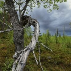
Brännberget
25.3 km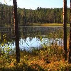
Borup
27.2 km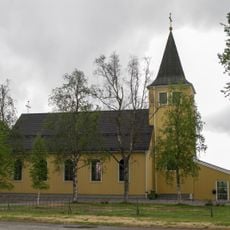
Glommersträsks kyrkobokföringsdistrikt
39.6 km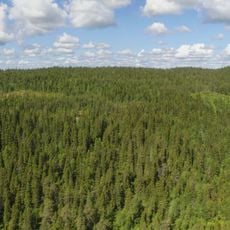
Svartliden-Whitberget
35.2 km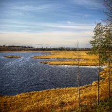
Vajsjön
21.7 km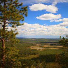
Vithattsmyrarna
31 km
Åheden
35.9 km
Bergmyrbäcken
36.5 km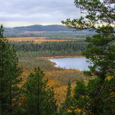
Nymyrtjärnheden
24.2 km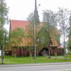
Bastuträsks kyrkobokföringsdistrikt
23.2 km
Norsjö 35:2
23.2 km
Ormtall Gallejaur
36.7 km
Norsjö 17:1
24.4 km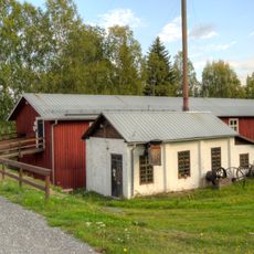
Drängsmarks vatten- och ångsåg
46.6 km
Norsjö 17:2
24.4 km
Norsjö 35:1
23.2 kmReviews
Visited this place? Tap the stars to rate it and share your experience / photos with the community! Try now! You can cancel it anytime.
Discover hidden gems everywhere you go!
From secret cafés to breathtaking viewpoints, skip the crowded tourist spots and find places that match your style. Our app makes it easy with voice search, smart filtering, route optimization, and insider tips from travelers worldwide. Download now for the complete mobile experience.

A unique approach to discovering new places❞
— Le Figaro
All the places worth exploring❞
— France Info
A tailor-made excursion in just a few clicks❞
— 20 Minutes