
Baranovu, Naturschutzgebiet in der Slowakei
Location: Banská Bystrica District
Operator: S NAPANT
GPS coordinates: 48.78000,19.13917
Latest update: April 25, 2025 16:15
Panský diel
2.2 km
Šachtičky
2.5 km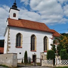
Church of Saint James the Greater
1.5 km
Emperor's tunnel
3.1 km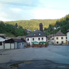
Klopačka
3.1 km
Kostol sv. Jakuba staršieho s opevnením, cintorín príkostolný
1.5 km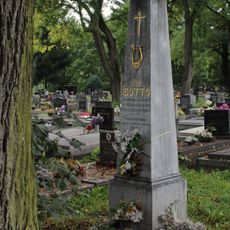
Cintorín ev. a. v. , hrob s náhrobníkom
4.3 km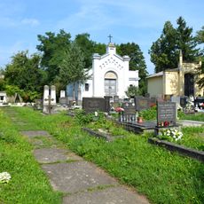
Cintorín ev. a. v. , cintorín
4.3 km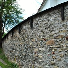
Kostol sv. Antona a Pavla, opevnenie kostola
2.8 km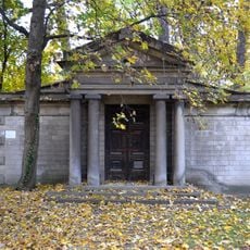
Cintorín ev. a. v. , hrobka
4.3 km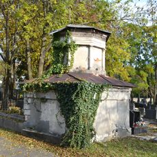
Cintorín ev. a. v. , hrobka
4.4 km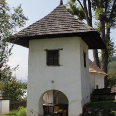
Farský areál, zvonica
3.2 km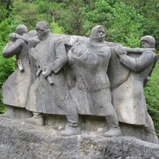
Boj pokračuje v hor.
3.8 km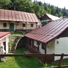
Do Paparátov, dom s maštaľou
3.1 km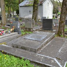
Cintorín ev. a. v. , hrob s náhrobníkom
4.4 km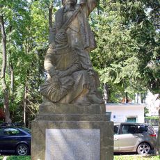
Pomník padlým partizánom
3.1 km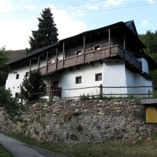
Do Hospodárov
3.1 km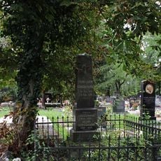
Cintorín ev. a. v. , hrob s náhrobníkom
4.3 km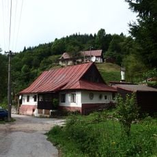
Do Banášov
3.1 km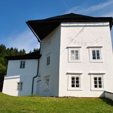
Farský areál, bašta
3.2 km
U Horných Reginy
3.1 km
Farský areál, fara
3.2 km
U Jergušov
3.1 km
Do Grmanov
3.1 km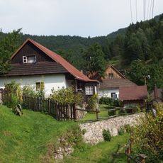
Báňský dům
3.1 km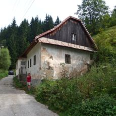
Do Celestínov
3 km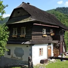
Banícky dom
3.2 km
Medený hámor, hámor
3.9 kmReviews
Visited this place? Tap the stars to rate it and share your experience / photos with the community! Try now! You can cancel it anytime.
Discover hidden gems everywhere you go!
From secret cafés to breathtaking viewpoints, skip the crowded tourist spots and find places that match your style. Our app makes it easy with voice search, smart filtering, route optimization, and insider tips from travelers worldwide. Download now for the complete mobile experience.

A unique approach to discovering new places❞
— Le Figaro
All the places worth exploring❞
— France Info
A tailor-made excursion in just a few clicks❞
— 20 Minutes