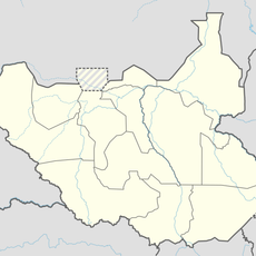
South Sudan, Landlocked country in East Africa
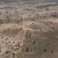
South Sudan is a landlocked nation in East Africa that covers a wide territory with grasslands, wetlands and the White Nile basin. The landscape consists of broad plains interrupted by scattered hills and large swamp areas that grow during the rainy season.
After decades of armed conflict, the territory gained independence through a referendum in 2011 and became the youngest internationally recognized nation in the world. The separation from northern Sudan ended the longest civil war in Africa, which had begun in 1983.
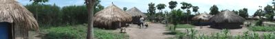
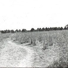
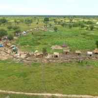
The population comprises over 60 ethnic groups whose communal life centers on cattle herding, seasonal agriculture and oral traditions, while many communities continue practicing traditional leadership structures and rituals based on centuries-old customs.
Travel to this region requires careful preparation as infrastructure remains limited and security conditions vary by area. Official travel advisories are strongly recommended since medical facilities outside Juba are minimal and visa requirements apply for most visitors.
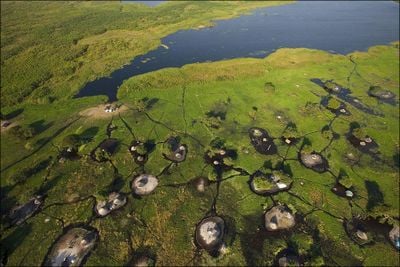
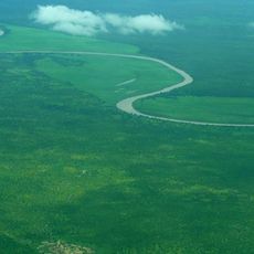
The Sudd wetlands form one of the largest swamp systems on Earth and host many migratory birds during the wet season. Floating vegetation islands regularly block the waterways of the White Nile and make navigation challenging.
The community of curious travelers
AroundUs brings together thousands of curated places, local tips, and hidden gems, enriched daily by 60,000 contributors worldwide.