
Exeter, town in Washington County, Rhode Island, United States
Location: Washington County
Elevation above the sea: 58 m
Shares border with: Voluntown
Website: http://town.exeter.ri.us
GPS coordinates: 41.57750,-71.53750
Latest update: March 3, 2025 20:12
Smith's Castle
6.9 km
Camp Endicott
8.8 km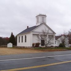
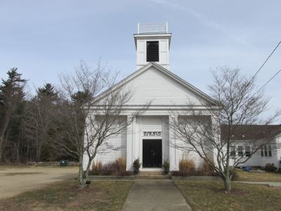
Baptist Church in Exeter
1.7 km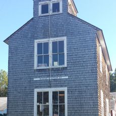
Massie Wireless Station
5.6 km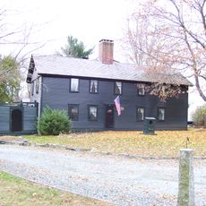
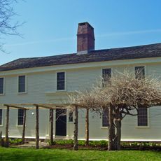
Stephen Northup House
8 km
Rhode Island Computer Museum
3.3 km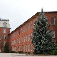
Lafayette Village
4.6 km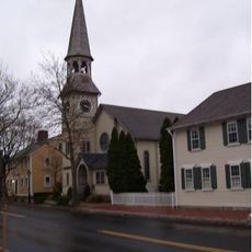
St. Paul's Church
7.3 km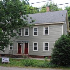
Shady Lea Historic District
7.6 km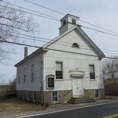
Usquepaug Road Historic District
9.7 km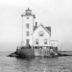
Wickford Harbor Light
8.4 km
Hamilton Mill Village Historic District
8.8 km
Richard Briggs Farm
4 km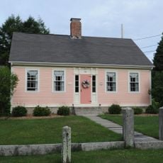
Esbon Sanford House
8 km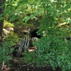
Davisville Historic District
6.8 km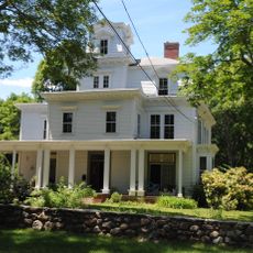
David S. Baker Estate
7.2 km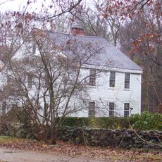
Palmer-Northrup House
6.4 km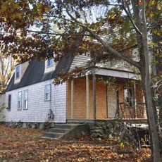
Joseph Slocum House
5.9 km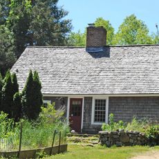
Rathbun House
2.7 km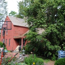
George Douglas House
8.8 km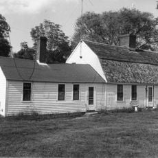
Ezekial Gardner House
7.4 km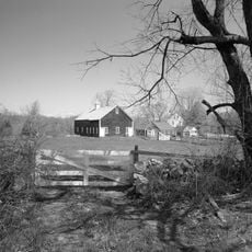
Fry's Hamlet Historic District
7.6 km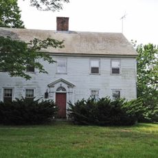
Cottrell House
9.8 km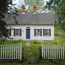
Henry Eldred Farm
8.9 km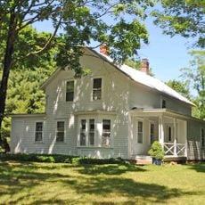
Benoni Ross House
4 km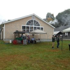
New England Wireless and Steam Museum
5.6 km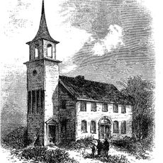
Old Narragansett Church
7.3 km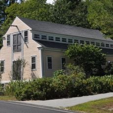
Lawton's Mill
2.8 kmVisited this place? Tap the stars to rate it and share your experience / photos with the community! Try now! You can cancel it anytime.
Discover hidden gems everywhere you go!
From secret cafés to breathtaking viewpoints, skip the crowded tourist spots and find places that match your style. Our app makes it easy with voice search, smart filtering, route optimization, and insider tips from travelers worldwide. Download now for the complete mobile experience.

A unique approach to discovering new places❞
— Le Figaro
All the places worth exploring❞
— France Info
A tailor-made excursion in just a few clicks❞
— 20 Minutes