Laurelwood Pond, Stausee in den Vereinigten Staaten
Location: New Haven County
GPS coordinates: 41.35639,-72.62861
Latest update: November 23, 2025 04:47
Chatfield Hollow State Park
2.8 km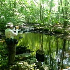
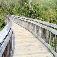
Menunkatuck Trail
6.2 km
Deer Lake
3.7 km
Chatfield Trail
3.8 km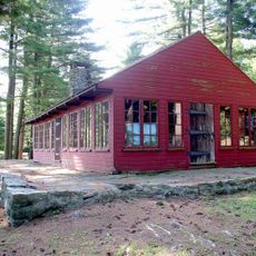
Oak Lodge
3.5 km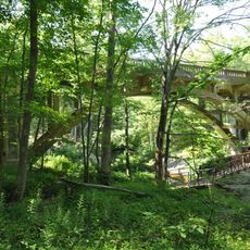
Bridge No. 1132
1.3 km
Parmelee House
4.7 km
Hammonasset Paper Mill Site
4.6 km
Guilford Lake
5.5 km
Skyledge Observatory
3.4 km
Foster Pond
3.7 km
Labyrinth
5.4 km
Scenic viewpoint
4.9 km
Amphitheatre
3.5 km
Guilford Lakes Golf Course
5.7 km
Deer Lake Camp
3.3 km
Totem Pole
3.2 km
Scenic viewpoint
3.3 km
Scenic viewpoint
3.4 km
Scenic viewpoint
4 km
Indian Caves
3.8 km
Scenic viewpoint
4.9 km
Scenic viewpoint
1.3 km
Scenic viewpoint
1.2 km
Scenic viewpoint
1.1 km
Nineveh Falls
1.3 km
Waterfall
1.6 km
Waterfall
4.9 kmReviews
Visited this place? Tap the stars to rate it and share your experience / photos with the community! Try now! You can cancel it anytime.
Discover hidden gems everywhere you go!
From secret cafés to breathtaking viewpoints, skip the crowded tourist spots and find places that match your style. Our app makes it easy with voice search, smart filtering, route optimization, and insider tips from travelers worldwide. Download now for the complete mobile experience.

A unique approach to discovering new places❞
— Le Figaro
All the places worth exploring❞
— France Info
A tailor-made excursion in just a few clicks❞
— 20 Minutes