
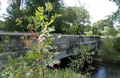
M-50–Sandstone Creek Bridge, bridge in Michigan, United States
Location: Tompkins Township
Inception: 1927
GPS coordinates: 42.37306,-84.54500
Latest update: September 23, 2025 16:46
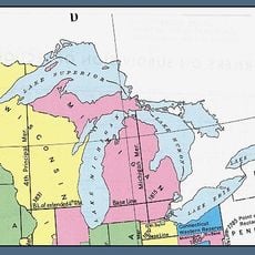
Michigan meridian
15.9 km
St. Mary Star of the Sea Catholic Church
18.3 km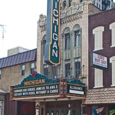
Michigan Theatre
18.1 km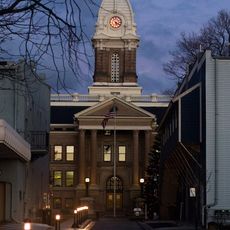
Ingham County Courthouse
24.4 km
Mann House
23.2 km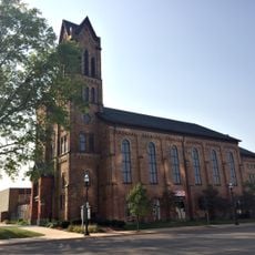
First Congregational Church
17.9 km
Concord Village Historic District
23.2 km
Gardner House
22.5 km
Andrew Wilcox House
19.8 km
Jackson Carnegie Library
17.8 km
Peoples National Bank Building
18.1 km
Hugh H. Richard House
17.5 km
Island City Historic District
17.9 km
Paddock-Hubbard House
23.1 km
Philip Nice House
24.7 km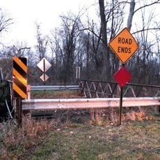
Powers Highway-Battle Creek Bridge
23.3 km
Isaac N. Reynolds House
17.9 km
John Raynor House
24.7 km
Courthouse Square Historic District
24.4 km
Eugene P. Robertson House
22.6 km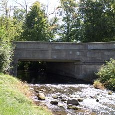
Ash Street-Sycamore Creek Bridge
24.3 km
Otsego Apartments
18.2 km
Westside Neighborhood Historic District
24.3 km
Somerville Barn
27.1 km
Merrylees-Post House
24.2 km
Ella Sharp Museum
20.6 km
Bohm Theatre
22.3 km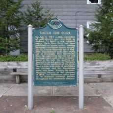
Under the Oaks Historical Marker
17.9 kmReviews
Visited this place? Tap the stars to rate it and share your experience / photos with the community! Try now! You can cancel it anytime.
Discover hidden gems everywhere you go!
From secret cafés to breathtaking viewpoints, skip the crowded tourist spots and find places that match your style. Our app makes it easy with voice search, smart filtering, route optimization, and insider tips from travelers worldwide. Download now for the complete mobile experience.

A unique approach to discovering new places❞
— Le Figaro
All the places worth exploring❞
— France Info
A tailor-made excursion in just a few clicks❞
— 20 Minutes