Sông Trầu, Landgemeinde in Vietnam
Location: Trảng Bom
Elevation above the sea: 48 m
GPS coordinates: 10.99778,107.02917
Latest update: December 9, 2025 05:42

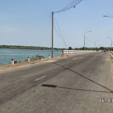
Trị An Lake
18.8 km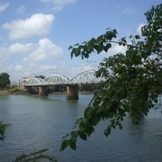
Thu Bien Bridge
13.4 km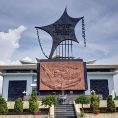
Tan Hiep Prision
20.8 km
Statue, Work of art
15.8 km
Cao tốc long thành dầu dây
17 km
Khu du lịch Thác Giang Điền
10 km
Nhà hát Nghệ thuật tỉnh Đồng Nai
19.3 km
Tượng Phật Dốc 47
18.7 km
Vườn xoài
13.7 km
Sơn Tiên
19.1 km
Đức Mẹ Núi Cúi
16.8 km
Statue, Work of art
11 km
Statue, Work of art
13.2 km
Statue, Work of art
20.4 km
Thác Trị An
12.4 km
Statue, Work of art
18.3 km
Sân Golf Đồng Nai
4.2 km
Monument
18.8 km
Monument
20.8 km
Monument
17 km
Monument
15.4 km
Monument
15.7 km
Monument
18.7 km
Monument
11.1 km
Thác Đá Hàn
1.8 km
Thác Giang Điền
10.1 km
Thác Trị An
10.6 km
Thác An Viễn
15 kmVisited this place? Tap the stars to rate it and share your experience / photos with the community! Try now! You can cancel it anytime.
Discover hidden gems everywhere you go!
From secret cafés to breathtaking viewpoints, skip the crowded tourist spots and find places that match your style. Our app makes it easy with voice search, smart filtering, route optimization, and insider tips from travelers worldwide. Download now for the complete mobile experience.

A unique approach to discovering new places❞
— Le Figaro
All the places worth exploring❞
— France Info
A tailor-made excursion in just a few clicks❞
— 20 Minutes