Phù Đổng, Landgemeinde in Vietnam
Location: Gia Lâm
Elevation above the sea: 7 m
GPS coordinates: 21.05694,105.96278
Latest update: November 16, 2025 06:00

Bút Tháp Temple
6.2 km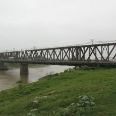
Duong River Bridge
6.1 km
Phu Dong Bridge
3 km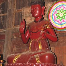
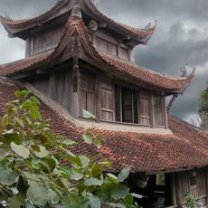
Chùa Keo temple
4.5 km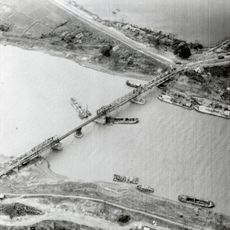
Sông Bé Bridge
6.1 km
Đền thờ nguyên phi Ỷ Lan
6.3 km
Đền Gióng Phù Đổng
232 m
Ly Bat De Temple
5.6 km
Đình Đình Bảng
5.8 km
Lăng Phát Tích
4 km
Temple of Imperial Concubine Y Lan
6.3 km
Xuân thu vườn
6.7 km
NUTRECO Company Limited.
6.5 km
Tượng Quan Thế Âm
3.3 km
Tượng Quan Thế Âm
3.4 km
Great view of Song Duong
3.2 km
Cửu Việt 2
6 km
Tượng đài Lý Tự Trọng
6.6 km
Lăng Hai
4.3 km
Lăng Cả
4.3 km
Memorial
6 km
Tượng Nguyên Phi Ỷ Lan
6.3 km
Nghi Môn
6.3 km
Khu khảo cổ
6.3 km
Đài tưởng niệm liệt sĩ phường Phúc Lợi
4.1 km
Đình Chùa Vàng
3.5 km
Công viên Long Biên
6.3 km
Công viên Long Biên
6.1 kmReviews
Visited this place? Tap the stars to rate it and share your experience / photos with the community! Try now! You can cancel it anytime.
Discover hidden gems everywhere you go!
From secret cafés to breathtaking viewpoints, skip the crowded tourist spots and find places that match your style. Our app makes it easy with voice search, smart filtering, route optimization, and insider tips from travelers worldwide. Download now for the complete mobile experience.

A unique approach to discovering new places❞
— Le Figaro
All the places worth exploring❞
— France Info
A tailor-made excursion in just a few clicks❞
— 20 Minutes