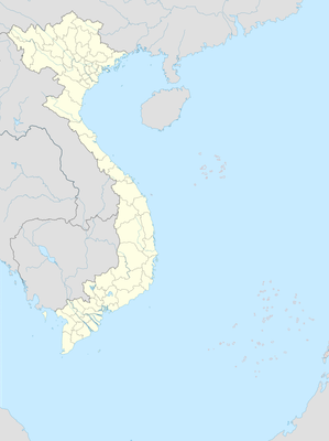
Chư Pangon, Berggipfel in Vietnam
Location: Đắk Lắk
Elevation above the sea: 700 m
GPS coordinates: 12.39830,107.98170
Latest update: November 25, 2023 00:17

Chư K'dioh
2.1 km
Du Lịch Hồ Sin Nô
9 km
Scenic viewpoint
9.7 km
Yôk N'glan
11.4 km
Bts thon nam hai
14 km
Bridge and waterfall closed with barbwire
16.1 km
Thác Gia Long
16.2 km
Chư Tiame Bagne
17.3 km
Thác Dray Sáp
18.4 km
Thác Dray Nur
18.7 km
Passerelle
18.7 km
Passerelle
18.8 km
Rice fields
18.9 km
Ferry
19.3 km
Boon Van Hoa
19.4 km
Scenic viewpoint
19.7 km
Elephant riding
20.6 km
Thác Băng Rup
21 km
Biệt điện Bảo Đại
21.3 km
Best mechanic ever
21.6 km
Khu Du Lịch Hồ Lăk
21.7 km
Núi lửa Băng Mo
22 km
Yôk Tjout
22.3 km
Thác Bảy Tầng
22.4 km
Serepok Bridge
24.6 km
Rice field
25.9 km
Our lady of Giang Son hill
25.9 km
Khu Bảo Tồn Thiên Nhiên Nam Nung
26.1 kmReviews
Visited this place? Tap the stars to rate it and share your experience / photos with the community! Try now! You can cancel it anytime.
Discover hidden gems everywhere you go!
From secret cafés to breathtaking viewpoints, skip the crowded tourist spots and find places that match your style. Our app makes it easy with voice search, smart filtering, route optimization, and insider tips from travelers worldwide. Download now for the complete mobile experience.

A unique approach to discovering new places❞
— Le Figaro
All the places worth exploring❞
— France Info
A tailor-made excursion in just a few clicks❞
— 20 Minutes
