Hochneukircher Fließ, protected landscape in Jüchen, Germany
Location: Jüchen
Inception: 1991
GPS coordinates: 51.09939,6.44224
Latest update: June 14, 2024 14:07
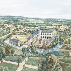
Burg Odenkirchen
2 km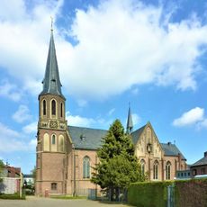
St. Pantaleon
867 m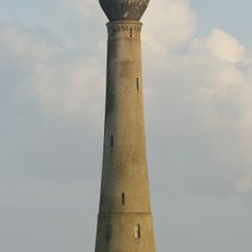
Wasserturm Jüchen-Holz
2 km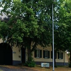
Berger Dorfstraße 65
2 km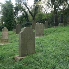
Jüdischer Friedhof
539 m
Kappelsmühle
1.9 km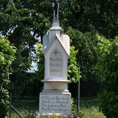
Wegekreuz Hochstraße
1.9 km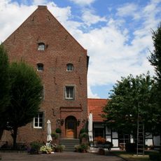
Burghaus des Kappelshofes
1.8 km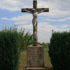
Wegekreuz Stahlenend
1.4 km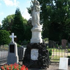
Priestergrabstätte Wanlo
1.8 km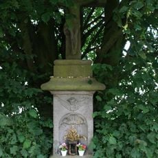
Wegekreuz Wanlo
1.3 km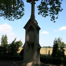
Friedhofskreuz Wanlo
1.8 km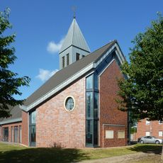
Evangelische Kirche
1.9 km
Hochneukircher Fließ
628 m
Wayside cross
1.2 km
Denkmal Erinnerung an das Kriegsgefangenenlager Wickrathberg
1.8 km
Wayside cross
1.8 km
Schützenbaum
1.8 km
Scenic viewpoint
1.7 km
Wayside cross
1.9 km
Wayside cross
1.9 km
Wayside cross
1.5 km
Marienfigur
1.5 km
Ehem. Synagoge
1.2 km
Jetta Zander
2 km
Wayside cross
2 km
Modell Alt-Holz
1.2 km
Wayside cross
1.1 kmReviews
Visited this place? Tap the stars to rate it and share your experience / photos with the community! Try now! You can cancel it anytime.
Discover hidden gems everywhere you go!
From secret cafés to breathtaking viewpoints, skip the crowded tourist spots and find places that match your style. Our app makes it easy with voice search, smart filtering, route optimization, and insider tips from travelers worldwide. Download now for the complete mobile experience.

A unique approach to discovering new places❞
— Le Figaro
All the places worth exploring❞
— France Info
A tailor-made excursion in just a few clicks❞
— 20 Minutes