
LSG-Hoppbruch, protected area in Germany
Location: Mönchengladbach
Inception: 1995
GPS coordinates: 51.16905,6.51071
Latest update: May 3, 2025 16:03
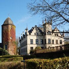
Haus Horst
778 m
St. Georg (Liedberg)
2.1 km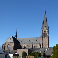
Saint Gereon Church
2.1 km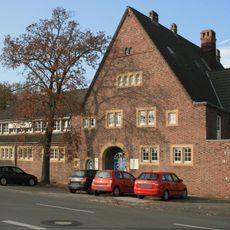
Konstantinstraße 303
1.8 km
Jüdischer Friedhof Pesch
1.9 km
Högden 6
706 m
An der Mühle 16
2.1 km
Saint Joseph Church (Schelsen)
1.6 km
Marienkapelle
2.1 km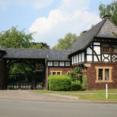
Konstantinstraße 283
1.8 km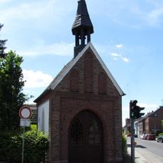
St.-Anna-Kapelle
1.8 km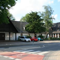
Kleinenbroicher Straße 5
1.9 km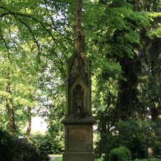
Hochkreuz
1.7 km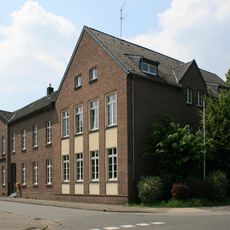
Grundschule Am Sternenfeld
1.7 km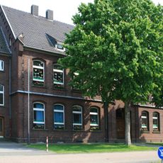
Schule Giesenkirchen
1.7 km
Wasserweg 3
1.7 km
Konstantinplatz 1
2.1 km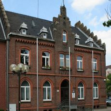
Konstantinplatz 19
2 km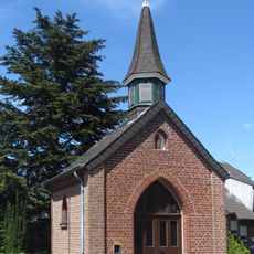
Wegekapelle Am Trietenbroich
1.2 km
Horster Straße 95
1.7 km
Ruckes 134
1.4 km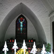
Kriegergedächtniskapelle Giesenkirchen
1.7 km
Ruckes 109
1.5 km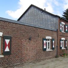
Meutersweg 4
1.9 km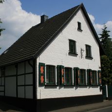
Schloss-Dyck-Straße 129
1.9 km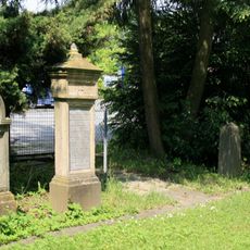
Jüdischer Friedhof
1.7 km
Schloss-Dyck-Straße 128
1.9 km
Carl-Diem-Straße 6
1.9 kmReviews
Visited this place? Tap the stars to rate it and share your experience / photos with the community! Try now! You can cancel it anytime.
Discover hidden gems everywhere you go!
From secret cafés to breathtaking viewpoints, skip the crowded tourist spots and find places that match your style. Our app makes it easy with voice search, smart filtering, route optimization, and insider tips from travelers worldwide. Download now for the complete mobile experience.

A unique approach to discovering new places❞
— Le Figaro
All the places worth exploring❞
— France Info
A tailor-made excursion in just a few clicks❞
— 20 Minutes