
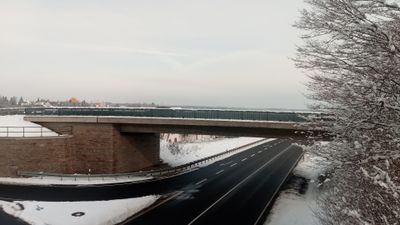
Straßenbrücke, Walldürn kreuzungsfrei mit einer Auf-/Abfahrt B27 verbindende Brücke
Location: Walldürn
Inception: 2013
GPS coordinates: 49.57369,9.36819
Latest update: September 23, 2025 16:56
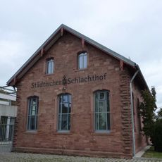
Alter Schlachthof (Walldürn)
944 m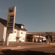
ENI-Servicestation Walldürn
1.1 km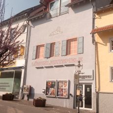
Löwenlichtspiele
1 km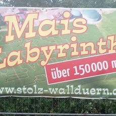
Maize maze Walldürn
285 m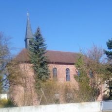
St. Kilian
563 m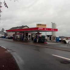
Esso-Station Walldürn
271 m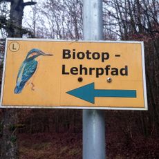
Biotoplehrpfad Walldürn
954 m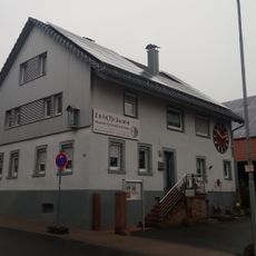
Museum Zeit
933 m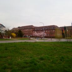
Erzbischöfliches Kinder- und Jugendheim St. Kilian
612 m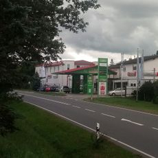
ZG-Raiffeisen-Tankstelle Walldürn
702 m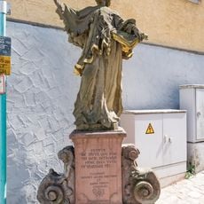
Nepomukfigur
1.1 km
St. Marien
786 m
Regenüberlaufbecken 2
313 m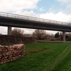
Straßenbrücke
740 m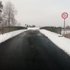
Straßenbrücke
36 m
Karl-Heinz-Joseph-Stein
597 m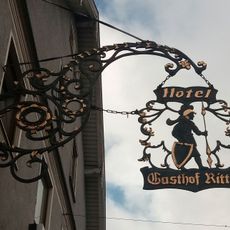
Wirthausschild Ritter
970 m
HdoT
737 m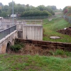
Regenüberlaufbecken 12
1.1 km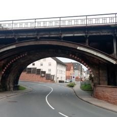
Kuhnebrücke
844 m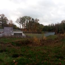
Regenüberlaufbecken 1
764 m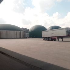
Biogasanlage Hof Stolz
366 m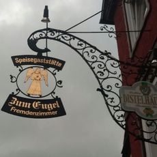
Wirtshausschild Engel
949 m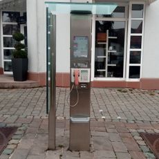
Münzfernsprecher Am Plan Walldürn
1 km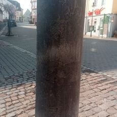
Meditationsstele
1.1 km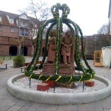
Stadtbrunnen mit Traditionsfiguren
1.1 km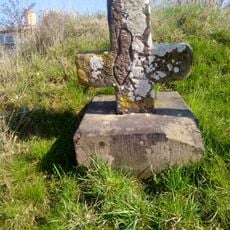
Sühnekreuz (Walldürn Neue Altheimer Straße)
468 m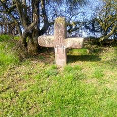
Sühnekreuz (Walldürn Gewann Steinern Kreuz)
687 mReviews
Visited this place? Tap the stars to rate it and share your experience / photos with the community! Try now! You can cancel it anytime.
Discover hidden gems everywhere you go!
From secret cafés to breathtaking viewpoints, skip the crowded tourist spots and find places that match your style. Our app makes it easy with voice search, smart filtering, route optimization, and insider tips from travelers worldwide. Download now for the complete mobile experience.

A unique approach to discovering new places❞
— Le Figaro
All the places worth exploring❞
— France Info
A tailor-made excursion in just a few clicks❞
— 20 Minutes