
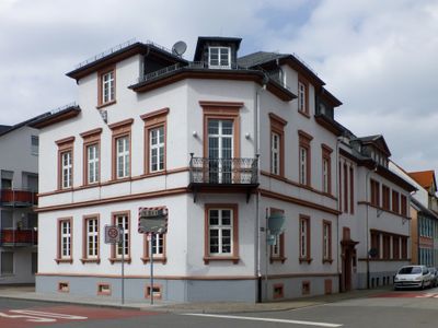
Ehem. Allgemeine Ortskrankenkasse
Ehem. Allgemeine Ortskrankenkasse, هيكل معماري في بنسهايم، ألمانيا
Location: Bensheim
Address: Neckarstraße 55
GPS coordinates: 49.67760,8.61895
Latest update: March 26, 2025 04:15

Hospitalkirche St. Joseph
228 m
Rinnentorturm
291 m
Storchennest
241 m
Ehem. Huf- und Wagenschmiede
209 m
Schuhmannshaus
216 m
Josephshaus
206 m
Ehem. Gasthaus 'Zum schwarzen Bären', Alte Kellerei
224 m
Haus Rodensteinstraße 76
29 m
Haus Hermannstraße 23
78 m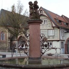
Hospitalbrunnen
249 m
Haus Hauptstraße 65
288 m
Haus Hauptstraße 67
281 m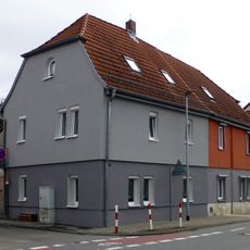
Haus Heidelberger Straße 18Heidelberger Straße 20
280 m
Haus Heidelberger Straße 9
249 m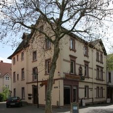
Haus Am Rinnentor 36
260 m
Haus Rodensteinstraße 70
59 m
Haus Hauptstraße 84
267 m
Haus Hauptstraße 81
217 m
Haus Am Rinnentor 22
280 m
Haus Hauptstraße 69
275 m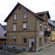
Haus Hospitalstraße 22
83 m
Haus Gerbergasse 14
249 m
Haus Rodensteinstraße 73
48 m
Haus Gerbergasse 19
235 m
Wegekreuz
273 m
Haus Zeller Straße 6
254 m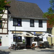
Haus Zeller Straße 4
244 m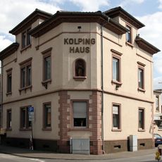
Kolpinghaus
278 mReviews
Visited this place? Tap the stars to rate it and share your experience / photos with the community! Try now! You can cancel it anytime.
Discover hidden gems everywhere you go!
From secret cafés to breathtaking viewpoints, skip the crowded tourist spots and find places that match your style. Our app makes it easy with voice search, smart filtering, route optimization, and insider tips from travelers worldwide. Download now for the complete mobile experience.

A unique approach to discovering new places❞
— Le Figaro
All the places worth exploring❞
— France Info
A tailor-made excursion in just a few clicks❞
— 20 Minutes