
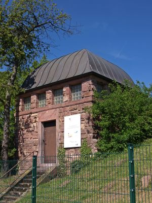
Wasserbehälter, هيكل معماري في لانغن، ألمانيا
Location: Langen
Address: An der Koberstadt 18
GPS coordinates: 49.98301,8.69410
Latest update: March 10, 2025 07:28
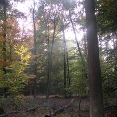
Koberstadt
1.2 km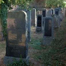
Jüdischer Friedhof Langen
865 m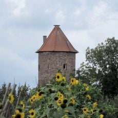
Spitzer Turm
1.1 km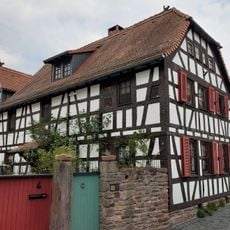
Haus Schulgässchen 4
1.2 km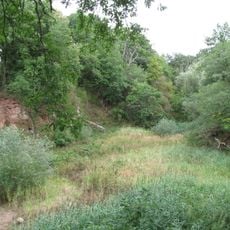
Naturdenkmal Steinbruch bei Langen
217 m
Sachteil Fachwerkwand
1.1 km
Haus Bruchgasse 9
1.1 km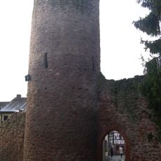
Stumpfer Turm
1 km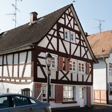
Haus Bachgasse 11
1.1 km
Haus Wilhelm-Leuschner-Platz 27
1.1 km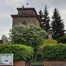
Mikwe und ehem. Synagoge (Mahnmal)
963 m
Haus Obergasse 11-13
1.1 km
Haus Obergasse 17
1.1 km
Haus Obergasse 19
1.1 km
Haus Obergasse 25
1.1 km
Haus Obergasse 9
1.1 km
Haus Obergasse 32
1 km
Haus Obergasse 27
1 km
Haus Wilhelm-Leuschner-Platz 13
1.2 km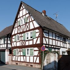
Haus Obergasse 16
1.1 km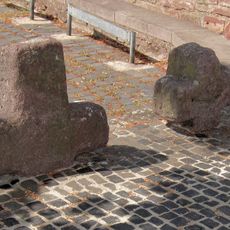
Steinkreuze
1.2 km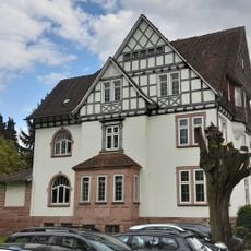
Forstamt Dieburger Straße 53, Langen
657 m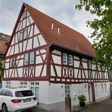
Haus Bachgasse 7
1.1 km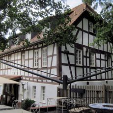
Ehem. Merzenmühle
779 m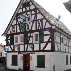
Haus Bachgasse 15
1.1 km
Brunnenstube des ehemaligen Forsthauses Koberstadt
224 m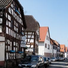
Obergasse
1.1 km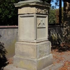
Sockel des Gefallenendenkmals
907 mReviews
Visited this place? Tap the stars to rate it and share your experience / photos with the community! Try now! You can cancel it anytime.
Discover hidden gems everywhere you go!
From secret cafés to breathtaking viewpoints, skip the crowded tourist spots and find places that match your style. Our app makes it easy with voice search, smart filtering, route optimization, and insider tips from travelers worldwide. Download now for the complete mobile experience.

A unique approach to discovering new places❞
— Le Figaro
All the places worth exploring❞
— France Info
A tailor-made excursion in just a few clicks❞
— 20 Minutes