
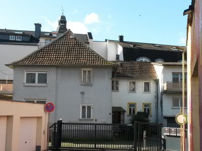
Frühere Judenschule und Synagoge
Location: Giessen
Address: Dammstraße 11
GPS coordinates: 50.58814,8.67428
Latest update: March 8, 2025 07:40
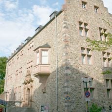
Giessen Old Castle
225 m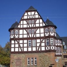
New castle (Gießen)
199 m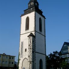
Stadtkirche (Gießen)
127 m
Pankratiuskapelle (Gießen)
136 m
Kriegerdenkmal
256 m
Dammstraße 31
99 m
Marktlauben
140 m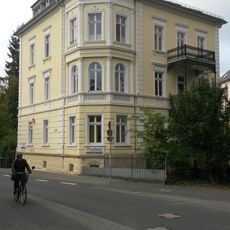
Haus Asterweg 35
243 m
Haus Asterweg 9
109 m
Haus Schillerstraße 11
187 m
Haus Asterweg 29
186 m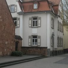
Evangelisches Pfarrhaus
122 m
Haus Schloßgasse 7
161 m
Haus Georg-Schlosser-Straße 3
133 m
Ehemaliges Gasthaus 'Zur neuen Welt'
29 m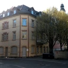
Haus Wetzsteinstraße 9
45 m
Haus Wetzsteinstraße 16Wetzsteinstraße
38 m
Haus Wetzsteinstraße 18
46 m
Schillerschule
200 m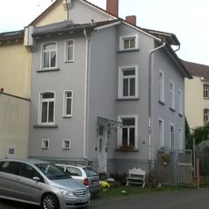
Haus Asterweg 19
124 m
Haus Asterweg 15
128 m
Sachteilensemble
61 m
Haus Wetzsteinstraße 13
67 m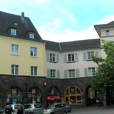
Haus Lindenplatz 6Marktlaubenstraße 6Marktlaubenstraße 4Lindenplatz 8
139 m
Haus Nordanlage
170 m
Haus Sandgasse 12
184 m
Haus Kirchenplatz 7
75 m
Haus Georg-Schlosser-Straße 9
123 mReviews
Visited this place? Tap the stars to rate it and share your experience / photos with the community! Try now! You can cancel it anytime.
Discover hidden gems everywhere you go!
From secret cafés to breathtaking viewpoints, skip the crowded tourist spots and find places that match your style. Our app makes it easy with voice search, smart filtering, route optimization, and insider tips from travelers worldwide. Download now for the complete mobile experience.

A unique approach to discovering new places❞
— Le Figaro
All the places worth exploring❞
— France Info
A tailor-made excursion in just a few clicks❞
— 20 Minutes