Quellgebiet der Schwillach, protected landscape in Bavaria, Germany
Location: Erding
Inception: 1997
GPS coordinates: 48.21337,11.92481
Latest update: November 23, 2025 21:22

Kümmerniskapelle
1.9 km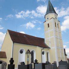
Kath. Pfarrkirche St. Martin
2.1 km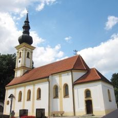
St. Nikolaus
949 m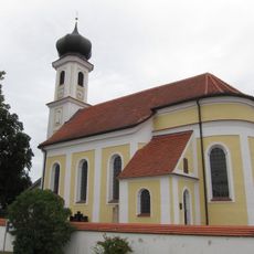
Katholische Filialkirche St. Stephanus
1.2 km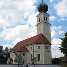
St. Ottilia
783 m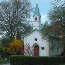
Kapelle
1.8 km
Cultural heritage D-1-7737-0049 in Pastetten
402 m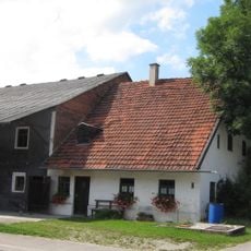
Bauernhof
2 km
Cultural heritage D-1-7737-0269 in Pastetten
2.1 km
Cultural heritage D-1-7737-0268 in Pastetten
1.5 km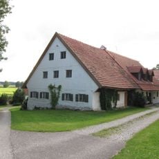
Bauernhaus
1.7 km
Cultural heritage D-1-7737-0275 in Pastetten
784 m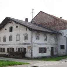
Bauernhof
2.1 km
Cultural heritage D-1-7737-0273 in Pastetten
949 m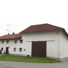
Bauernhof
1.2 km
Cultural heritage D-1-7737-0223 in Ottenhofen
1.2 km
Cultural heritage D-1-7737-0046 in Pastetten
1 km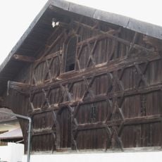
Stadel
2.1 km
Wayside cross
1.3 km
Wayside cross
1.5 km
Wayside cross
652 m
Wayside cross
1.4 km
Wayside cross
866 m
Wayside cross
1.2 km
Wayside cross
1.7 km
Wayside cross
2 km
Catholic church building, wayside shrine, Christianity
1.8 km
Wayside cross
1.1 kmReviews
Visited this place? Tap the stars to rate it and share your experience / photos with the community! Try now! You can cancel it anytime.
Discover hidden gems everywhere you go!
From secret cafés to breathtaking viewpoints, skip the crowded tourist spots and find places that match your style. Our app makes it easy with voice search, smart filtering, route optimization, and insider tips from travelers worldwide. Download now for the complete mobile experience.

A unique approach to discovering new places❞
— Le Figaro
All the places worth exploring❞
— France Info
A tailor-made excursion in just a few clicks❞
— 20 Minutes