
Relief, هيكل معماري في باد هومبورغ (فور در هوهه)، ألمانيا
Location: Bad Homburg vor der Höhe
Address: Am Schwesternhaus 2
GPS coordinates: 50.23988,8.60765
Latest update: March 3, 2025 18:03

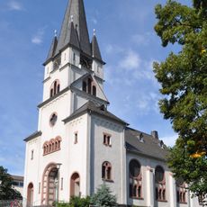
Gedächtniskirche
219 m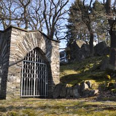
Kriegerdenkmal am Rabenstein
484 m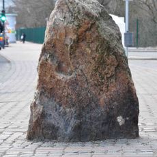
Gluckenstein
592 m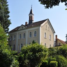
Am Schwesternhaus 2 (Kirdorf)
20 m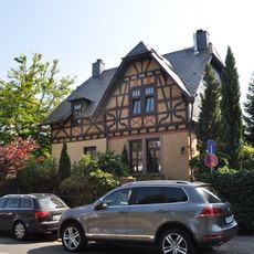
Wohnhaus
695 m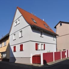
Fachwerkwohnhaus
185 m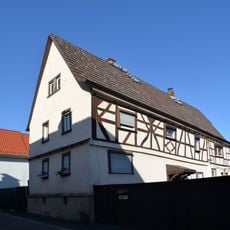
Fachwerkwohnhaus
232 m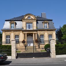
Villa
711 m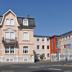
Wohnhaus
168 m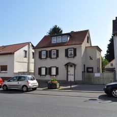
Wohnhaus
111 m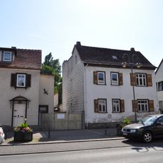
Wohnhaus
101 m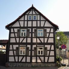
Fachwerkwohnhaus
287 m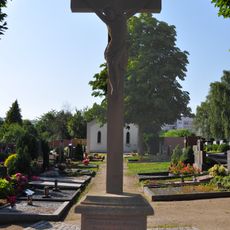
Städt. Friedhof Kirdorf / Kreuz
199 m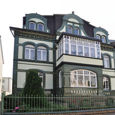
Villa
651 m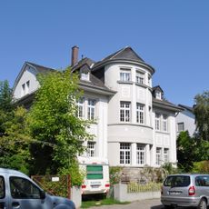
Villa
631 m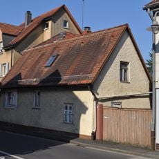
Wohnhaus
371 m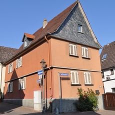
Fachwerkwohnhaus
289 m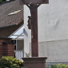
Wegekreuz
280 m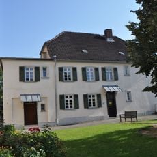
Katholisches Pfarrhaus
239 m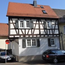
Fachwerkwohnhaus
261 m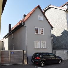
Fachwerkwohnhaus
139 m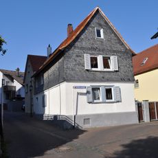
Fachwerkwohnhaus
273 m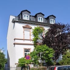
Villa
613 m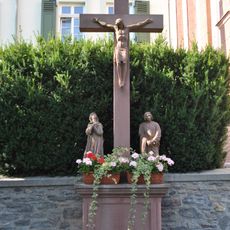
Kreuzigungsgruppe
242 m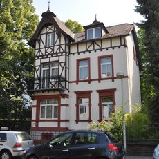
Villa
738 m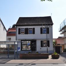
Wohnhaus
94 m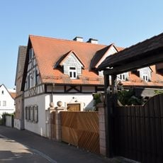
Fachwerkwohnhaus
301 m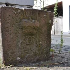
Keilstein
301 mReviews
Visited this place? Tap the stars to rate it and share your experience / photos with the community! Try now! You can cancel it anytime.
Discover hidden gems everywhere you go!
From secret cafés to breathtaking viewpoints, skip the crowded tourist spots and find places that match your style. Our app makes it easy with voice search, smart filtering, route optimization, and insider tips from travelers worldwide. Download now for the complete mobile experience.

A unique approach to discovering new places❞
— Le Figaro
All the places worth exploring❞
— France Info
A tailor-made excursion in just a few clicks❞
— 20 Minutes