
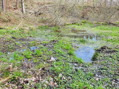
Wetland near Breitenbach
Wetland near Breitenbach, natural monument area in Wetterzeube Municipality, Saxony-Anhalt, Germany
Location: Wetterzeube
Inception: October 25, 1978
Part of: nemovitost
GPS coordinates: 50.99450,12.07880
Latest update: May 16, 2025 19:06
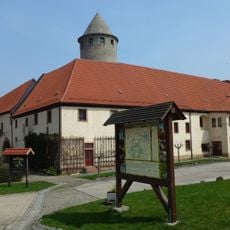
Burg Haynsburg
2.8 km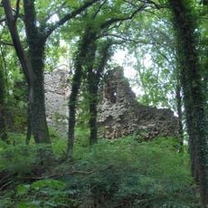
Burg Breitenbach
987 m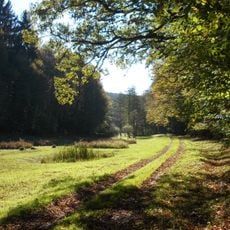
Zeitzer Forst
4.6 km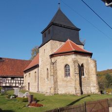
Protestant Church Ossig
1.5 km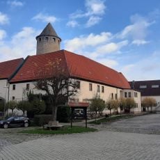
Haynsburg
2.8 km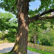
Quercus robur next to Fallen monument Golben
3.7 km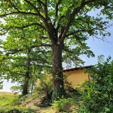
Quercus robur at the southern exit of the village Golben
3.7 km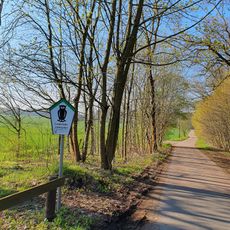
Aga-Elster-Tal und Zeitzer Forst
1.9 km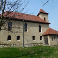
Protestant Church Breitenbach
1.1 km
Protestant Church Schkauditz
4.2 km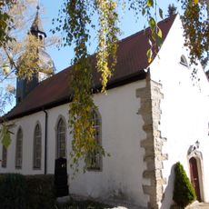
Protestant Church Loitzschütz
4.8 km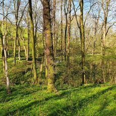
Pond at Johannismühle
3.6 km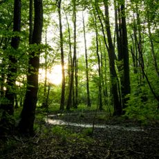
Rödel
4.7 km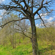
Quercus robur near Salsitz
4.5 km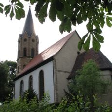
Protestant Church Rippicha
3.9 km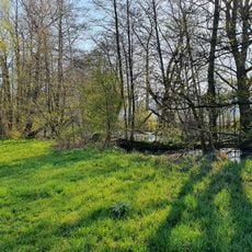
Horseshoe-Oldwater near Rossendorf
4.9 km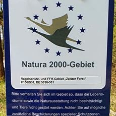
Zeitzer Forst (SA)
2.9 km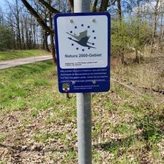
Zeitzer Forst
1.3 km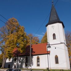
Protestant Church Schellbach
3.5 km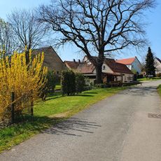
Quercus robur in Breitenbach
1 km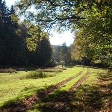
Zeitzer Forst (TH)
4.7 km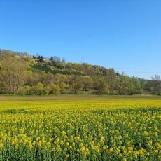
Semi-natural dry grassland near Obersiedel
4.2 km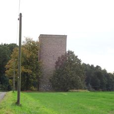
Wasserturm Droßdorf
3.7 km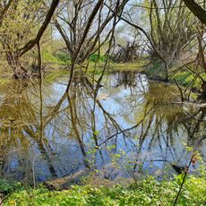
Pond near Johannismühle
4.1 km
Dielzie
2.2 km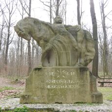
War memorial in Aga
3.5 km
Semi-natural dry grassland near Johannismühle
3.3 km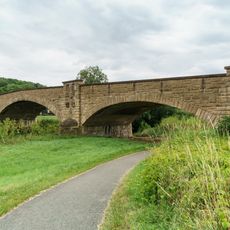
Haynsburg Elster bridge
3.6 kmReviews
Visited this place? Tap the stars to rate it and share your experience / photos with the community! Try now! You can cancel it anytime.
Discover hidden gems everywhere you go!
From secret cafés to breathtaking viewpoints, skip the crowded tourist spots and find places that match your style. Our app makes it easy with voice search, smart filtering, route optimization, and insider tips from travelers worldwide. Download now for the complete mobile experience.

A unique approach to discovering new places❞
— Le Figaro
All the places worth exploring❞
— France Info
A tailor-made excursion in just a few clicks❞
— 20 Minutes