
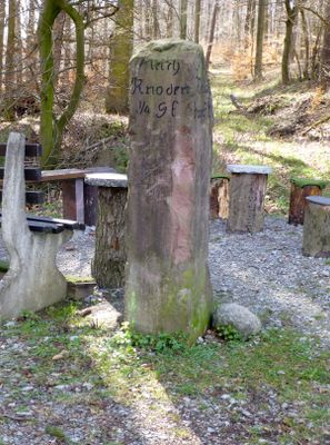
Wegweiserstein, هيكل معماري في بنسهايم، ألمانيا
Location: Bensheim
Address: Hinter dem Hahn (bei Knodener Höhenweg)
GPS coordinates: 49.69799,8.69589
Latest update: March 9, 2025 19:00
Naturschutzgebiet Schannenbacher Moor
2.3 km
Knörschhügel
2 km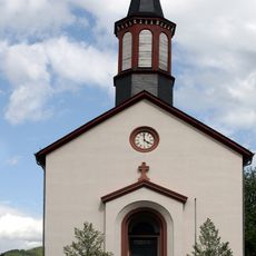
St.-Anna-Kirche
2.3 km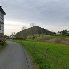
Knodener Kopf
1.1 km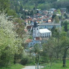
Evangelische Kirche Reichenbach
1.6 km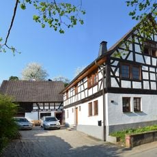
Hintergasse 26 (Gronau)
2.2 km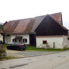
Scheune
2.2 km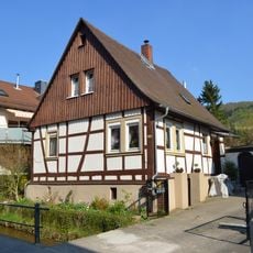
Haus Märkerwaldstraße 119
2.1 km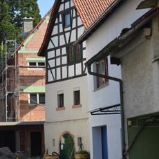
Haus Märkerwaldstraße 95
2.3 km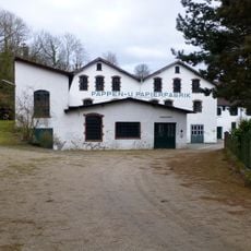
Pappenfabrik und ehem. Papiertrockenhallen
2.1 km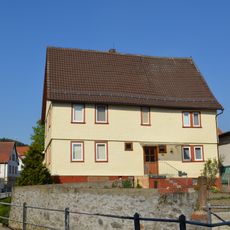
Haus Märkerwaldstraße 131
2 km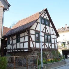
Haus Märkerwaldstraße 122
2.1 km
Haus Märkerwaldstraße 94
2.3 km
Schule
2 km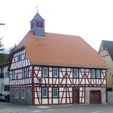
Altes Rathaus
1.8 km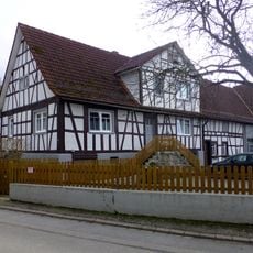
Haus Zum Katzenrech 3
2.2 km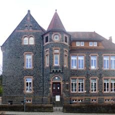
Felsenmeerschule
1.5 km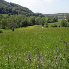
Gronauer Bach mit Hummelscheid und Schannenbacher Moor
1.2 km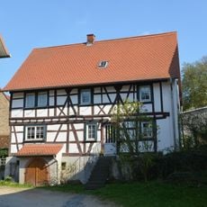
Haus Märkerwaldstraße 127
2 km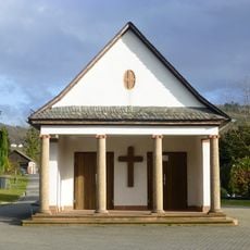
Friedhofskapelle
1.5 km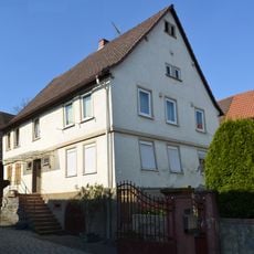
Haus Märkerwaldstraße 106
2.2 km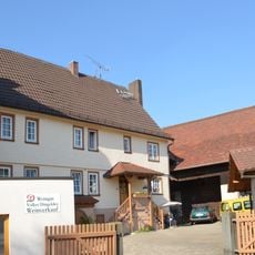
Haus Hintergasse 28
2.2 km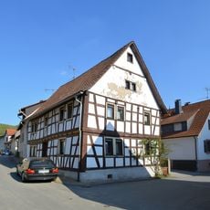
Haus Hintergasse 15
2.3 km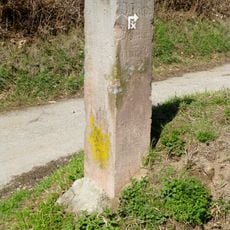
Wegweiserstein
1.1 km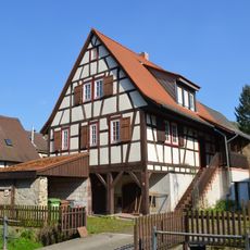
Haus Märkerwaldstraße 117
2.1 km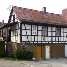
Auszugshaus
2.2 km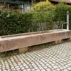
Laufbrunnen
2.1 km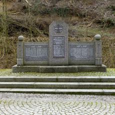
Gefallenen-Ehrenmal
2.1 kmReviews
Visited this place? Tap the stars to rate it and share your experience / photos with the community! Try now! You can cancel it anytime.
Discover hidden gems everywhere you go!
From secret cafés to breathtaking viewpoints, skip the crowded tourist spots and find places that match your style. Our app makes it easy with voice search, smart filtering, route optimization, and insider tips from travelers worldwide. Download now for the complete mobile experience.

A unique approach to discovering new places❞
— Le Figaro
All the places worth exploring❞
— France Info
A tailor-made excursion in just a few clicks❞
— 20 Minutes