
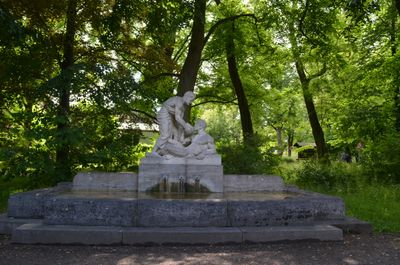
Kurpark, Samariterbrunnen, هيكل معماري في باد هومبورغ (فور در هوهه)، ألمانيا
Location: Bad Homburg vor der Höhe
Address: Kisseleffstraße 27 (Kaiser-Friedrich-Promenade)
GPS coordinates: 50.22749,8.62376
Latest update: March 7, 2025 06:10
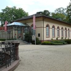
Spielbank Bad Homburg
225 m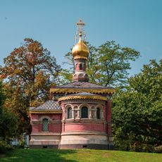
Russian Chapel, Bad Homburg
217 m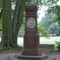
Hölderlindenkmal
205 m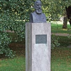
Bildnis Dr. Bircher-Benner
166 m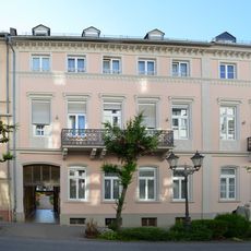
Kisseleffstraße 12
222 m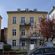
Villa und Nebengebäude
225 m
Haus Kaiser-Friedrich-Promenade 82
143 m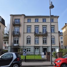
Haus Kaiser-Friedrich-Promenade 63
208 m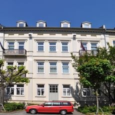
Wohnhaus
231 m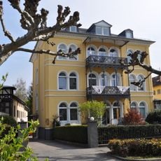
Villa
111 m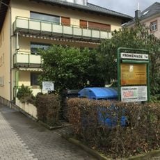
Haus Kaiser-Friedrich-Promenade 74
113 m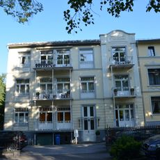
Wohnhaus
77 m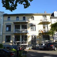
Villa Kisseleff
93 m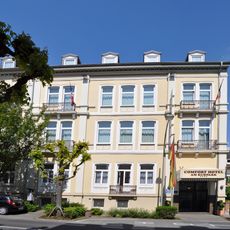
Wohnhaus
216 m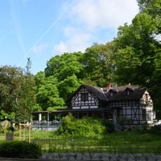
Chatelet am Römerbrunnen (ehem. Molkenanstalt)
50 m
Wohnhaus
198 m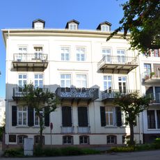
Wohnhaus
222 m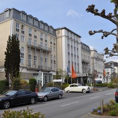
Haus Kaiser-Friedrich-Promenade 73
175 m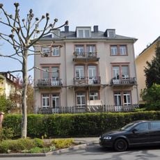
Villa
127 m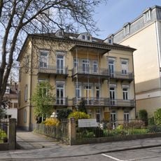
Villa
180 m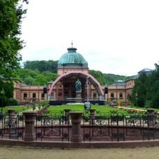
Kurpark, Kaiser-Brunnen
201 m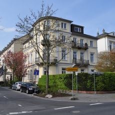
Villa mit Seitenflügel
203 m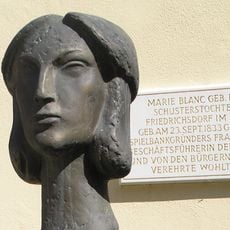
Kurpark, Bildnis Marie Blanc
216 m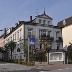
Villa und Nebengebäude
196 m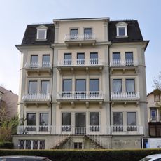
Villa und Nebengebäude
207 m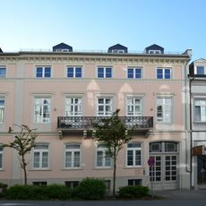
Wohnhaus mit Hintergebäude
215 m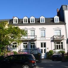
Wohnhaus
109 m
Kurpark, Gedenktafel Blanc
216 mReviews
Visited this place? Tap the stars to rate it and share your experience / photos with the community! Try now! You can cancel it anytime.
Discover hidden gems everywhere you go!
From secret cafés to breathtaking viewpoints, skip the crowded tourist spots and find places that match your style. Our app makes it easy with voice search, smart filtering, route optimization, and insider tips from travelers worldwide. Download now for the complete mobile experience.

A unique approach to discovering new places❞
— Le Figaro
All the places worth exploring❞
— France Info
A tailor-made excursion in just a few clicks❞
— 20 Minutes