
Laneast, village and civil parish in Cornwall, UK
Location: Cornwall
Shares border with: Treneglos, Tresmeer, Egloskerry, Trewen, Altarnun, St Clether
GPS coordinates: 50.62900,-4.50600
Latest update: March 8, 2025 01:40


St Nonna's Church, Altarnun
2.8 km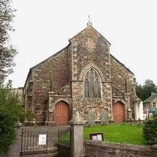
Altarnun Methodist Chapel
3 km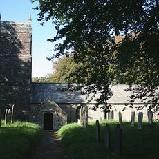
Church of St Gregory
4.6 km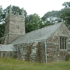
Church of St Winwalo
5.1 km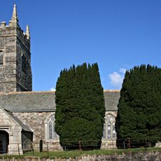
Church of St Keria
5.1 km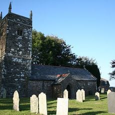
Church of St Nicholas
3.5 km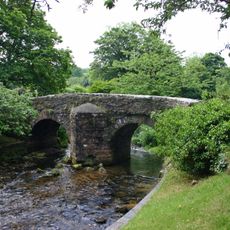
Altarnun Old Bridge
2.8 km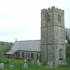
Church of St Clether
2.3 km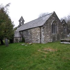
Church of St Michael
2.4 km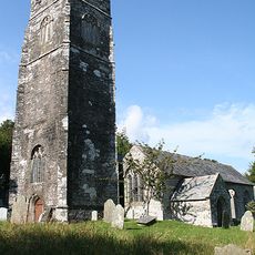
Church of St Sidwell
79 m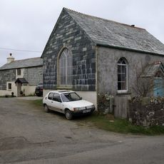
Trecollas Chapel
2.4 km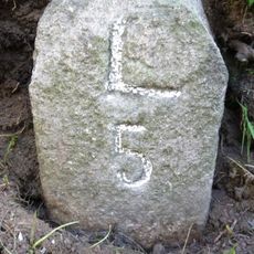
Milestone 350 Metres To South East Of Pipers Pool
3.4 km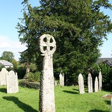
Medieval churchyard cross in Laneast churchyard
87 m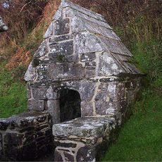
Holy Well of St Clether
2.7 km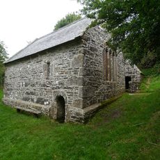
St Clether's Chapel and Holy Well
2.7 km
Bridge Directly To South Of Trewen Mill
2.5 km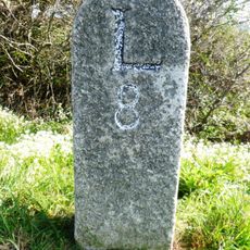
Milestone To North East Of Napps Farm
1.8 km
Early post-medieval guide post 270m north west of Bowden
3 km
Medieval wayside cross in Altarnun churchyard
2.8 km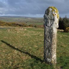
High Hall Cross
1.6 km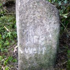
Boundary Stone At Ngr Sx 2716 8334
4.3 km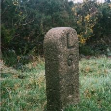
Milestone At Sx246843
1.8 km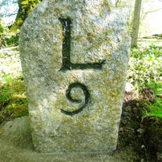
Milestone 30 Metres To North West Of Cold Northcott
3.4 km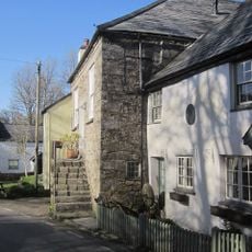
Chygrysys
2.8 km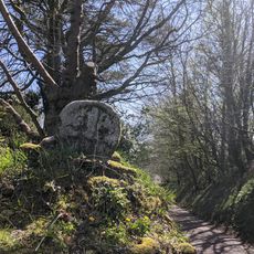
Cross 20 Metres To South East Of Trekennick Farmhouse
2.7 km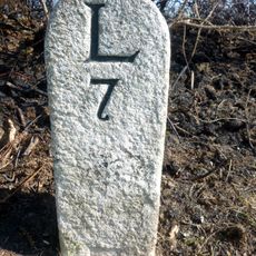
Milestone At Sx231848
812 m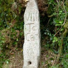
Milestone, Cold Northcott, green lane to Kyrse
2.8 km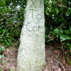
Milestone, above Badharlick Mill
4.3 kmVisited this place? Tap the stars to rate it and share your experience / photos with the community! Try now! You can cancel it anytime.
Discover hidden gems everywhere you go!
From secret cafés to breathtaking viewpoints, skip the crowded tourist spots and find places that match your style. Our app makes it easy with voice search, smart filtering, route optimization, and insider tips from travelers worldwide. Download now for the complete mobile experience.

A unique approach to discovering new places❞
— Le Figaro
All the places worth exploring❞
— France Info
A tailor-made excursion in just a few clicks❞
— 20 Minutes