
Awre, village and civil parish in Gloucestershire, United Kingdom
Location: Forest of Dean
Website: http://awre-parish-council.org.uk
GPS coordinates: 51.77000,-2.43000
Latest update: March 7, 2025 06:02
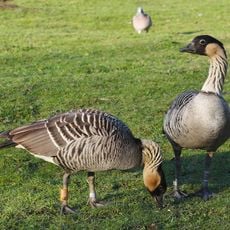
WWT Slimbridge
3.6 km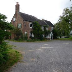
Berkeley Arms, Purton
3.8 km
Clarke's Pool Meadow SSSI
4 km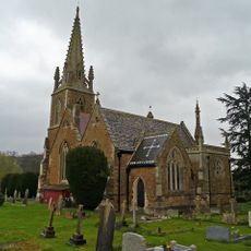
Church of St Mary
3.2 km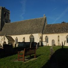
Church of St Mary
2.7 km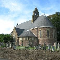
Church of All Saints
5.2 km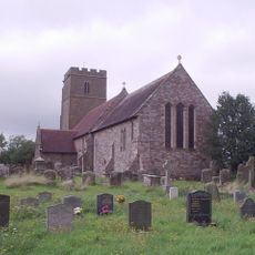
Church of St Andrew
458 m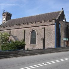
Church of All Saints
3.3 km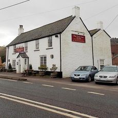
Cock Inn
4.1 km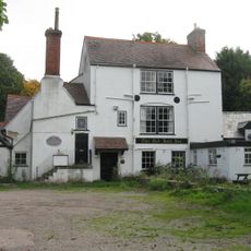
The Red Hart (Public House)
372 m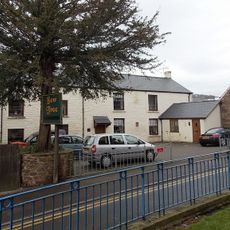
The Yew Tree (Public House)
3.4 km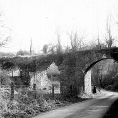
Purton Viaduct
4.6 km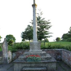
Fretherne War Memorial
3.2 km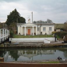
Bridgekeeper's House On The Gloucester Sharpness Canal
4 km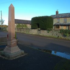
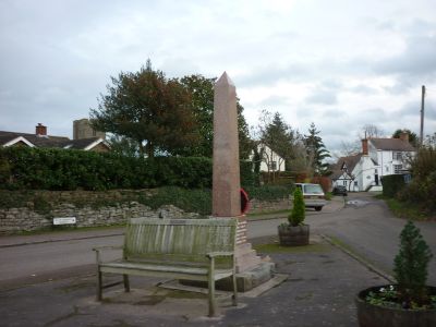
Awre War Memorial
329 m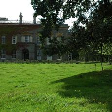
Oaklands Park
2.9 km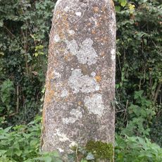
Milestone Ngr 73440911
3.2 km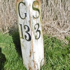
Milepost At National Grid Reference So 708 040
4 km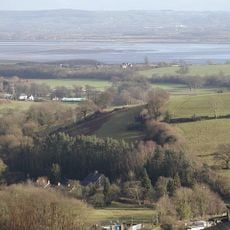
Hagloe House
2.4 km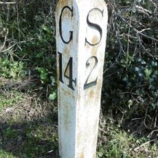
Milepost At National Grid Reference So 694 041
4.1 km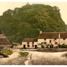
Drakes House
3.6 km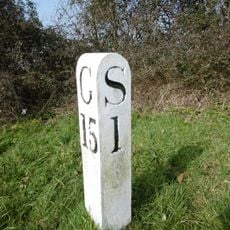
Milepost At National Grid Reference So 682 038
4.7 km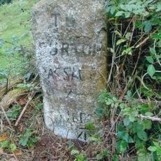
Milestone, near telephone box
4.8 km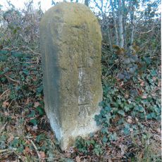
Milestone, 300m N of jct to Purton
5.7 km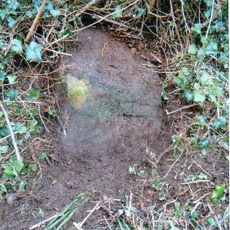
Milestone, between Viney Hill and Etloe
4 km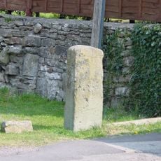
Milestone, Purton Wood
4.7 km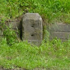
Milestone, opp. Swan Lane 300m N of Blakeney
4.3 km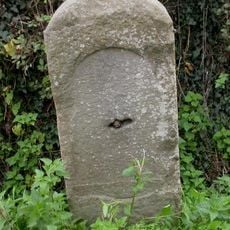
Milestone, Riddle Street
4.6 kmVisited this place? Tap the stars to rate it and share your experience / photos with the community! Try now! You can cancel it anytime.
Discover hidden gems everywhere you go!
From secret cafés to breathtaking viewpoints, skip the crowded tourist spots and find places that match your style. Our app makes it easy with voice search, smart filtering, route optimization, and insider tips from travelers worldwide. Download now for the complete mobile experience.

A unique approach to discovering new places❞
— Le Figaro
All the places worth exploring❞
— France Info
A tailor-made excursion in just a few clicks❞
— 20 Minutes