
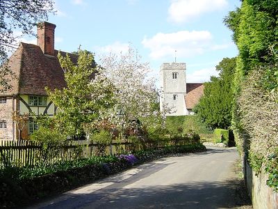
Milstead, village in United Kingdom
Location: Swale
Shares border with: Doddington
GPS coordinates: 51.29700,0.72960
Latest update: April 10, 2025 21:24
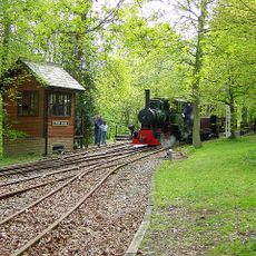
Bredgar and Wormshill Light Railway
3.3 km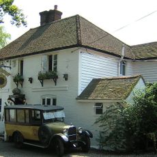
Ringlestone Inn
4 km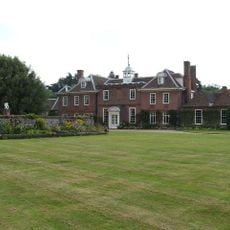
Sharsted Court
5.2 km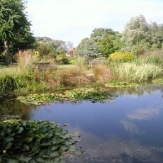
Pines Garden
4.2 km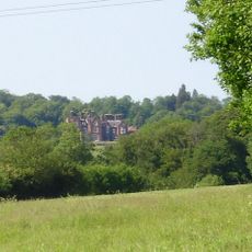
Doddington Place Gardens
4.2 km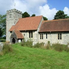
St Giles, Wormshill
2.6 km
Bredgar & Wormshill Railway
3.1 km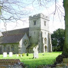
Church of St Dunstan
1.9 km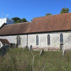
Church of the Beheading of St John the Baptist
3.8 km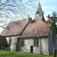
Church of St Margaret
3.3 km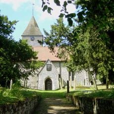
Church of St Peter and St Paul, Lynsted
4.4 km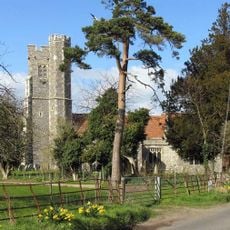
Church of St Nicholas
3.7 km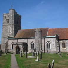
Church of St John the Baptist
2.8 km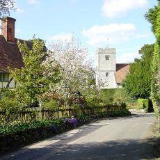
Church of St Mary and the Holy Cross
109 m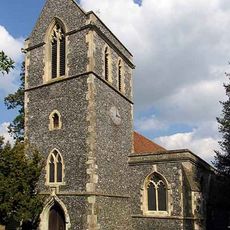
Church of St John the Baptist
3.1 km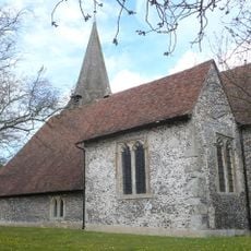
Church of St Peter and St Paul
5.1 km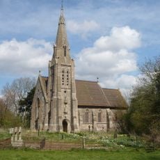
Church of St Catherine
2.1 km
The Blacksmith's Arms Public House
3.1 km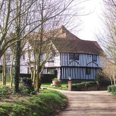
Lynsted Court
4.2 km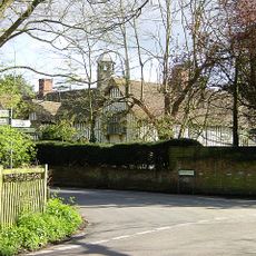
Milstead Manor
134 m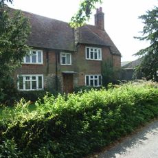
Yew Tree Farmhouse
3.2 km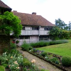
Bexon Manor
1.5 km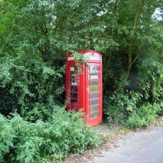
K6 Telephone Kiosk
2.7 km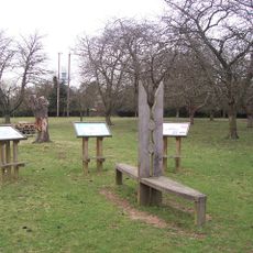
Park Farm Community Cherry Orchard
4.3 km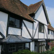
Yew Tree House
3.3 km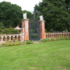
Garden Gates, Piers And Walls At Sharsted Court
4.7 km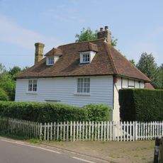
Walnut Tree House
3.3 km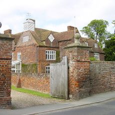
Tunstall House
3.1 kmVisited this place? Tap the stars to rate it and share your experience / photos with the community! Try now! You can cancel it anytime.
Discover hidden gems everywhere you go!
From secret cafés to breathtaking viewpoints, skip the crowded tourist spots and find places that match your style. Our app makes it easy with voice search, smart filtering, route optimization, and insider tips from travelers worldwide. Download now for the complete mobile experience.

A unique approach to discovering new places❞
— Le Figaro
All the places worth exploring❞
— France Info
A tailor-made excursion in just a few clicks❞
— 20 Minutes