
Church of St Mary, church in Swynnerton, Staffordshire, United Kingdom
Location: Swynnerton
Inception: 12 century
GPS coordinates: 52.91670,-2.22111
Latest update: March 3, 2025 08:14


Meaford Hall
3.6 km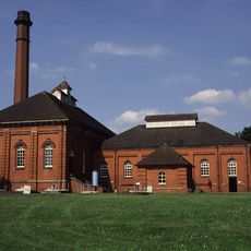
Mill Meece Pumping Station
2.7 km
Multivallate hillfort at Bury Bank
3 km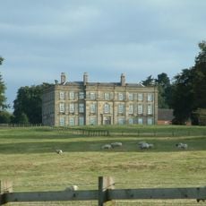
Swynnerton Hall
59 m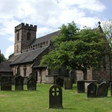
Church of All Saints
3.3 km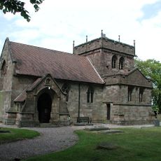
Church of St Chad
4.1 km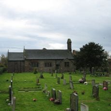
Church of St James
1.9 km
Hatton Water Pumping Station Boiler House And Chimney
2.7 km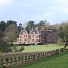
Standon Hall (Now Part Of Standon Hall Orthopaedic Hospital)
4.4 km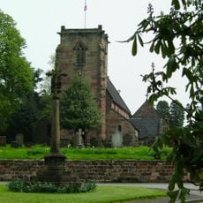
Swynnerton War Memorial
64 m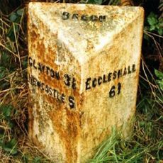
Milepost, N of Beech
2.9 km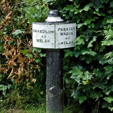
Canal Mile Post 22 Yards To North Of Top Lock Bridge (Canal Bridge 98)
3.9 km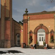
Hatton Water Pumping Station Secondary Pump House
2.7 km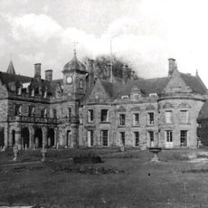
Meaford Hall The Manor House
3.7 km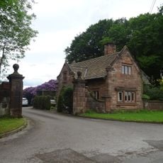
Lodge Of Standon Hall
4.2 km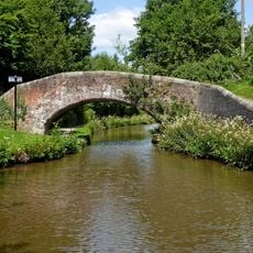
Turnover Bridge (Canal Bridge Number 100) Circa 500M To North-West Of Meaford Farm
4 km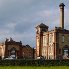
Hatton Water Pumping Station And Chimney
2.7 km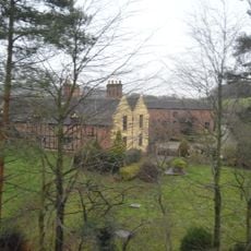
Meaford Old Hall Farmhouse
4 km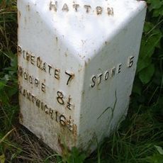
Milepost, Black Bank
2.5 km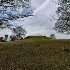
Saxon's Lowe, Tittensor Common
2.6 km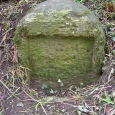
Milestone, W of Edge Hill
4 km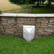
Milepost, The Toft, Hanchurch
4.4 km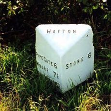
Milepost, The Rowe
4 km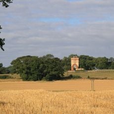
Water Tower Half A Mile To North Of Swynnerton Village
461 m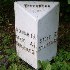
Milepost, N of Tittensor, on central reservation
3.8 km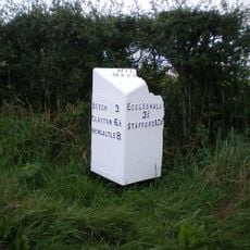
Milepost, N of Millmeece
2.4 km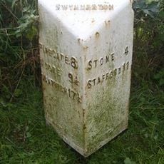
Milepost, near Cash's Pit, north of Swynnerton village
1.3 km
Milepost, Cotes Heath
1.7 kmVisited this place? Tap the stars to rate it and share your experience / photos with the community! Try now! You can cancel it anytime.
Discover hidden gems everywhere you go!
From secret cafés to breathtaking viewpoints, skip the crowded tourist spots and find places that match your style. Our app makes it easy with voice search, smart filtering, route optimization, and insider tips from travelers worldwide. Download now for the complete mobile experience.

A unique approach to discovering new places❞
— Le Figaro
All the places worth exploring❞
— France Info
A tailor-made excursion in just a few clicks❞
— 20 Minutes