
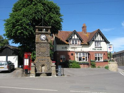
Thornford, village and civil parish in Dorset. United Kingdom
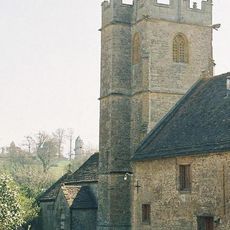
Church of St Martin
2.4 km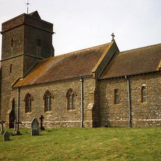
Church of St Michael
1.5 km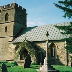
Parish Church of St Mary Magdalene
255 m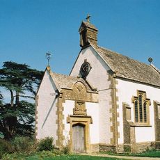
Chapel Of The Holy Trinity
3.2 km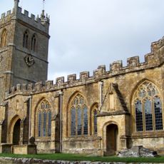
Parish Church of St Mary
2.1 km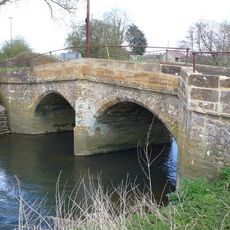
Smith's Bridge
1.8 km
1 the Cottage
2.6 km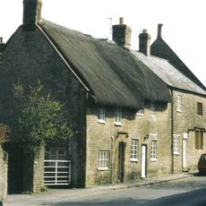
Clare Cottage
2.6 km
Barn And Stable At Manor Farm, Immediately East Of Manor Farm House
2.6 km
The Grey Cottage
73 m
Manor House, Including Front Boundary Wall
2.6 km
Tythe Barn
2.4 km
The Cottage
328 m
Manor Farm House Including Wall Enclosing Farmyard
2.6 km
Church Farm House, Including Attached Farm Building
1.5 km
Lower Farm House Including Attached Barns
2.5 km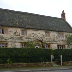
Pyt House And Attached Front Walls
125 m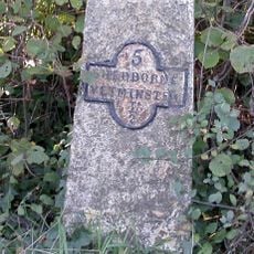
Milestone
2.2 km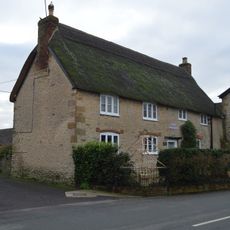
Green Hill Dairy House With Attached Front Walls And Railings
150 m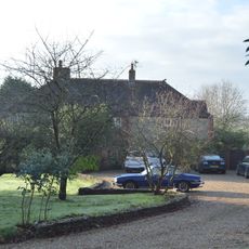
Lower Farm House, Including Boundary Walls To House And Farmyard
2.4 km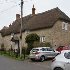
Cross House
231 m
Bridge House
2.6 km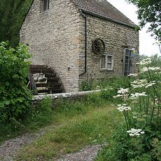
West Mill
3.4 km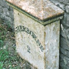
Milepost, 5m N of dual carriageway opposite turning to Silverlake farm
3.2 km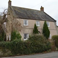
Waverlawns And Attached Outbuildings To South
260 m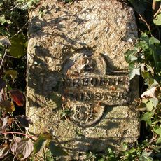
Milestone, Sherborne, 50M E of Court House dairy Farm
2.2 km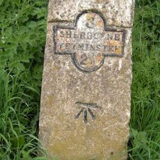
Milestone, just E of the village
692 m
Milestone, W of village, opposite Eagle Mead Goat farm
847 mReviews
Visited this place? Tap the stars to rate it and share your experience / photos with the community! Try now! You can cancel it anytime.
Discover hidden gems everywhere you go!
From secret cafés to breathtaking viewpoints, skip the crowded tourist spots and find places that match your style. Our app makes it easy with voice search, smart filtering, route optimization, and insider tips from travelers worldwide. Download now for the complete mobile experience.

A unique approach to discovering new places❞
— Le Figaro
All the places worth exploring❞
— France Info
A tailor-made excursion in just a few clicks❞
— 20 Minutes