
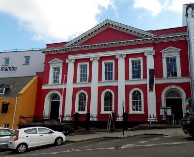
Shire Hall, Haverfordwest, municipal building in Haverfordwest
Location: Haverfordwest
Elevation above the sea: 10.8 m
GPS coordinates: 51.80160,-4.96864
Latest update: March 14, 2025 09:38
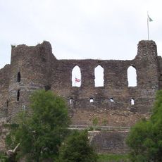
Haverfordwest Castle
145 m
County Hall, Haverfordwest
164 m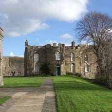
Haverfordwest Town Museum
144 m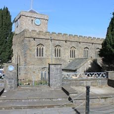
St Mary's Church, Haverfordwest
225 m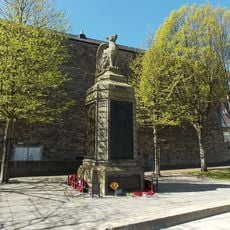
County of Pembroke War Memorial
209 m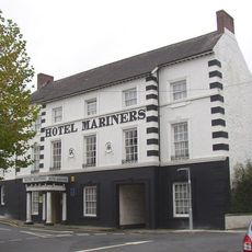
Hotel Mariners
282 m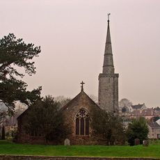
Church of Saint Martin of Tours, Haverfordwest
273 m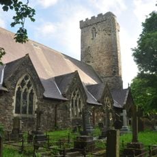
Church of Saint Thomas a Becket
216 m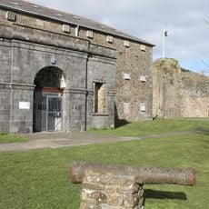
Former County Gaol
174 m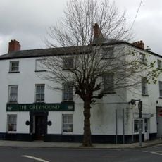
The Greyhound
267 m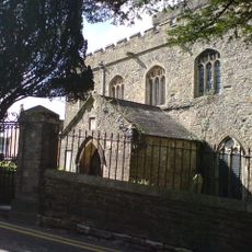
Churchyard walls and gates to Saint Martin's Church
287 m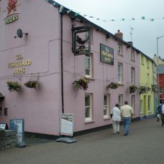
The Fishguard Arms Inn
252 m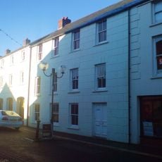
10 Bridge Street (The Commercial Hotel), Haverfordwest
304 m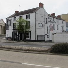
The County Hotel
225 m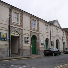
Palace Cinema
242 m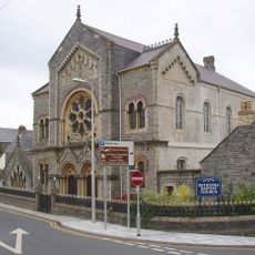
Bethesda English Baptist Church
303 m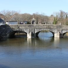
The Old Bridge
268 m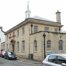
The Post Office
82 m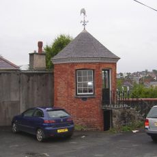
Gazebo to NE of No. 33 Hill Lane
32 m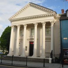
The Former Masonic Hall
195 m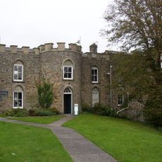
The Governor's House
142 m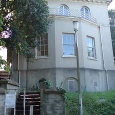
Foley House
135 m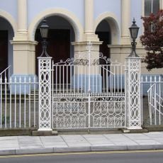
Forecourt Dwarf Wall And Railings To Tabernacle Church And To Tabernacle Church School
324 m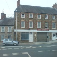
Cromwell House, Nos. 1 and 3 City Road
323 m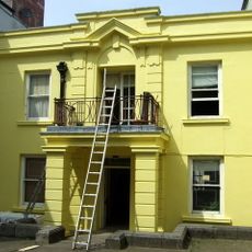
The Liberal Chambers
212 m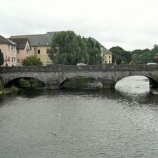
New Bridge and four lamp standards
135 m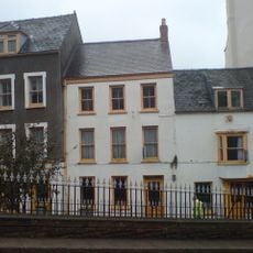
No. 6 High Street (Premises Occupied By S. D. Pugh And Son), Haverfordwest
177 m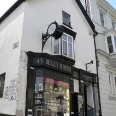
No. 43 High Street (premises occupied by Munts)
32 mVisited this place? Tap the stars to rate it and share your experience / photos with the community! Try now! You can cancel it anytime.
Discover hidden gems everywhere you go!
From secret cafés to breathtaking viewpoints, skip the crowded tourist spots and find places that match your style. Our app makes it easy with voice search, smart filtering, route optimization, and insider tips from travelers worldwide. Download now for the complete mobile experience.

A unique approach to discovering new places❞
— Le Figaro
All the places worth exploring❞
— France Info
A tailor-made excursion in just a few clicks❞
— 20 Minutes