
Blean, civil parish in Canterbury, Kent, England
Bigbury Camp
3.3 km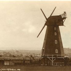
Black Mill
4.6 km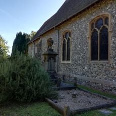
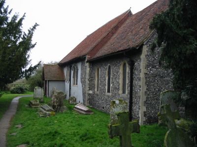
St Michael and All Angels Church
2.9 km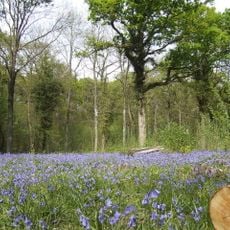
Church Woods, Blean
2.1 km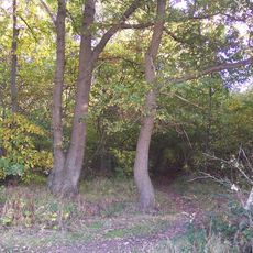
Ellenden Wood
2.6 km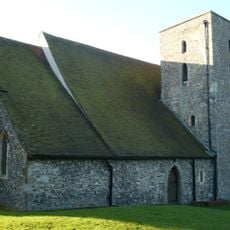
The Old Leper Church of St Nicholas
2.8 km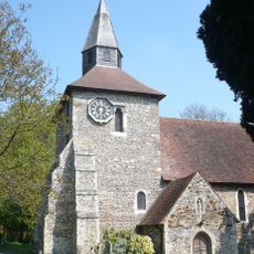
Church of St Stephen
3.1 km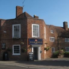
Ye Olde Beverlie Inn
3 km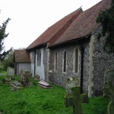
Church of St Cosmus and St Damian
692 m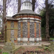
Hales Place Jesuit Cemetery Chapel
3 km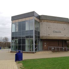
University of Kent Special Collections and Archives
2.1 km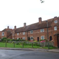
Manwood's Hospital
3 km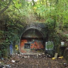
Tyler Hill Tunnel
2.2 km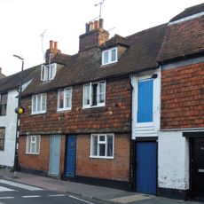
18 And 20, Whitstable Road
3.1 km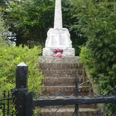
Harbledown and Rough War Memorial, including steps and gate
2.9 km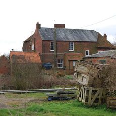
Well Court
1.6 km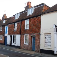
14 And 16, Whitstable Road
3.1 km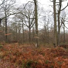
Blean Woods RSPB Reserve
1.5 km
22, Whitstable Road
3.1 km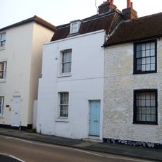
24, Whitstable Road
3.1 km
Frog Hall
2.1 km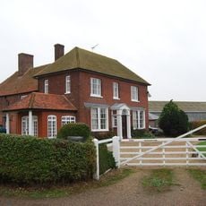
Brooklands Cottage Brooklands Farmhouse
4.2 km
Milestone, Honey Hill, Blean, opp. Honey Cottage
779 m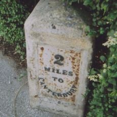
Milestone, Tile Kiln Hill, opp. No. 32, by No. 27
838 m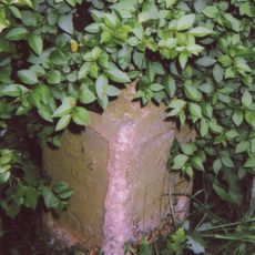
Milestone, Pean Hill, 10m S of entrance to "Blanchenden", N of Pean Farm
2.3 km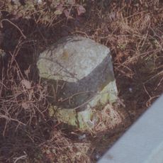
Milestone, London Road, opp Denstead Lane, W of Service area
3.5 km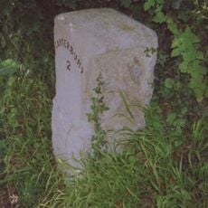
Milestone, Upper Harbledown village, by Plough PH
2.7 km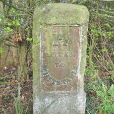
Milestone, Clapham Hill, opp. Marlborough Street
3.9 kmReviews
Visited this place? Tap the stars to rate it and share your experience / photos with the community! Try now! You can cancel it anytime.
Discover hidden gems everywhere you go!
From secret cafés to breathtaking viewpoints, skip the crowded tourist spots and find places that match your style. Our app makes it easy with voice search, smart filtering, route optimization, and insider tips from travelers worldwide. Download now for the complete mobile experience.

A unique approach to discovering new places❞
— Le Figaro
All the places worth exploring❞
— France Info
A tailor-made excursion in just a few clicks❞
— 20 Minutes