
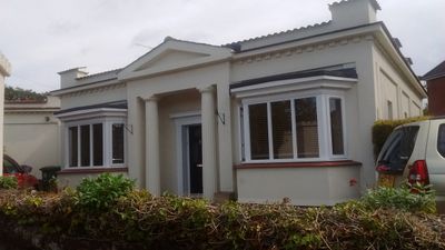
80, Coventry Road, building in Warwick, Warwick, Warwickshire, UK
Location: Warwick
Address: 80, Coventry Road, Warwick, Warwick, Warwickshire, CV34
GPS coordinates: 52.28723,-1.57937
Latest update: March 4, 2025 22:17
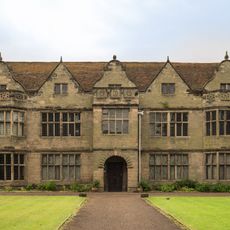
St John's House Museum, Warwick
455 m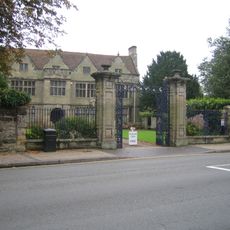
Royal Regiment of Fusiliers Museum
456 m
2 4, St Nicholas Church Street
524 m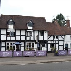
The Millwrights Arms Public House
283 m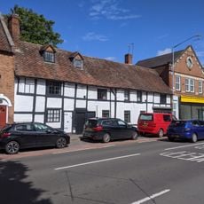
17-21, Coten End
346 m
77 79, Coten End
295 m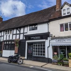
57 57A, Smith Street
486 m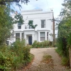
116, Coventry Road
189 m
3, Priory Road
455 m
73 75, Coten End
293 m
17 19 21, Coten End
331 m
43, Smith Street
529 m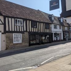
74, Smith Street
488 m
Premises Formerly Occupied By Currall (Sadler) And Webb And Taylor
508 m
The Cliffe
153 m
13 15, Coten End
337 m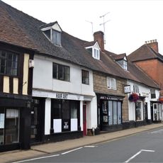
68 68A 70 72, Smith Street
499 m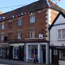
60 62 64, Smith Street
522 m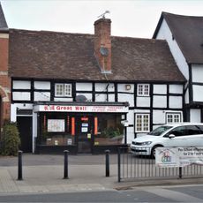
65 67, Coten End
282 m
55, Smith Street
497 m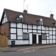
2 4, Coten End
372 m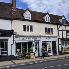
59 59A 61, Smith Street
476 m
76, Smith Street
484 m
Bridge House
417 m
19, Enscote Road
334 m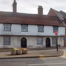
2 4, St John's
480 m
66 66A, Smith Street
513 m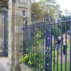
Entrance Gateway To St John's House And Flanking Boundary Walls
425 mReviews
Visited this place? Tap the stars to rate it and share your experience / photos with the community! Try now! You can cancel it anytime.
Discover hidden gems everywhere you go!
From secret cafés to breathtaking viewpoints, skip the crowded tourist spots and find places that match your style. Our app makes it easy with voice search, smart filtering, route optimization, and insider tips from travelers worldwide. Download now for the complete mobile experience.

A unique approach to discovering new places❞
— Le Figaro
All the places worth exploring❞
— France Info
A tailor-made excursion in just a few clicks❞
— 20 Minutes