
47, Hospital Street, Nantwich, building in Nantwich, Cheshire East, Cheshire, UK
Location: Nantwich
Address: 47, Hospital Street, Nantwich, Cheshire East, Cheshire, CW5
GPS coordinates: 53.06617,-2.51932
Latest update: March 2, 2025 19:52


St Mary's Church, Nantwich
134 m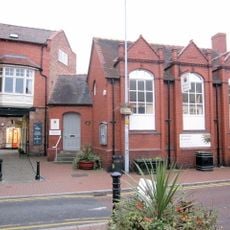
Nantwich Museum
119 m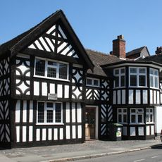
Sweetbriar Hall
55 m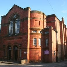
Wesleyan Methodist Church, Nantwich
21 m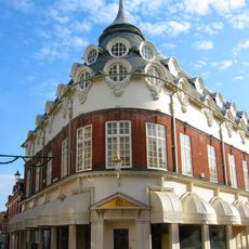
1–5 Pillory Street, Nantwich
168 m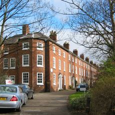
Dysart Buildings, Nantwich
135 m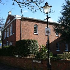
Congregational Chapel, Nantwich
104 m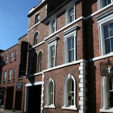
Lamb Hotel
131 m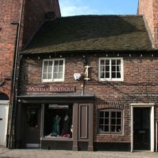
32 and 34, Hospital Street, Nantwich
77 m
4A, Church Lane
114 m
38, Hospital Street, Nantwich
65 m
25, Hospital Street, Nantwich
78 m
30, Hospital Street, Nantwich
85 m
Vine Inn, Nantwich
53 m
15 and 17, Hospital Street, Nantwich
99 m
4, Hospital Street, Nantwich
153 m
8 and 10, Hospital Street, Nantwich
138 m
21 and 23, Hospital Street, Nantwich
85 m
36, Hospital Street, Nantwich
70 m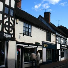
11 and 13, Hospital Street, Nantwich
108 m
9, Hospital Street, Nantwich
114 m
69 and 71, Hospital Street, Nantwich
73 m
40, Hospital Street, Nantwich
58 m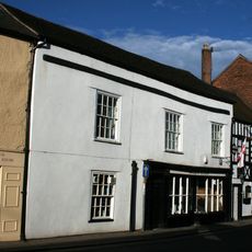
46, Hospital Street, Nantwich
43 m
94 And 96, Hospital Street
101 m
Old School at rear of Number 65 (Sweetbriar Hall)
67 m
33, Hospital Street, Nantwich
52 m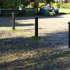
2 bollards at churchyard end of Church Lane
141 mVisited this place? Tap the stars to rate it and share your experience / photos with the community! Try now! You can cancel it anytime.
Discover hidden gems everywhere you go!
From secret cafés to breathtaking viewpoints, skip the crowded tourist spots and find places that match your style. Our app makes it easy with voice search, smart filtering, route optimization, and insider tips from travelers worldwide. Download now for the complete mobile experience.

A unique approach to discovering new places❞
— Le Figaro
All the places worth exploring❞
— France Info
A tailor-made excursion in just a few clicks❞
— 20 Minutes