
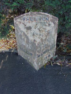
Milepost West Of Church End Road, milestone in Freiston, Boston, Lincolnshire, UK
Location: Freiston
Inception: 19 century
GPS coordinates: 52.98566,0.03803
Latest update: March 7, 2025 15:52
York Street
4 km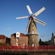
Maud Foster Windmill
3.7 km
Parish Church of St Nicholas
3.7 km
Church of the Holy Trinity
3.6 km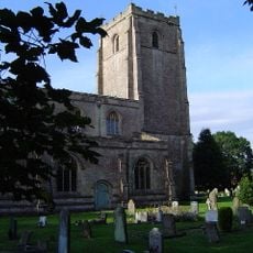
Church of St Guthlac
2.6 km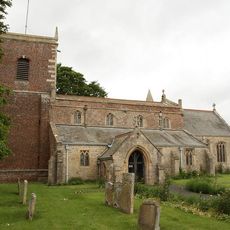
Church of St Andrew
1.9 km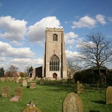
Church of St James
1.6 km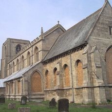
Church of All Saints
3.1 km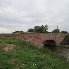
Mastin's Bridge
2.5 km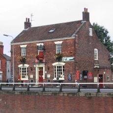
The King's Arms
3.8 km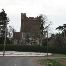
Rochford Tower
1.9 km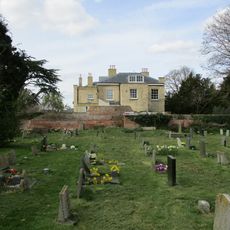
Skirbeck Hall
3.7 km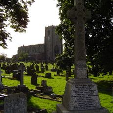
Freiston War Memorial And Railings
1.5 km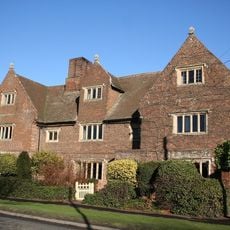
Burton Hall And Attached Wall
2.9 km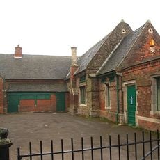
Old School
1.8 km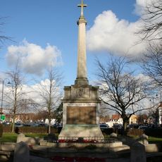
Boston War Memorial
4 km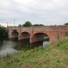
Freiston Bridge
1 km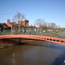
Hospital Footbridge
3.8 km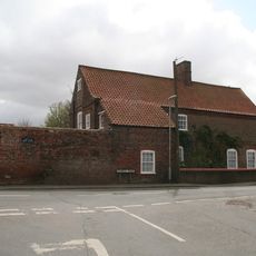
The Old Brewhouse
1.8 km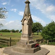
Fishtoft War Memorial
2.8 km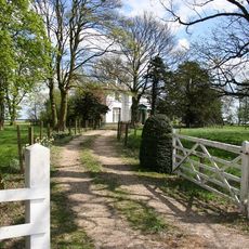
The Old Rectory
4 km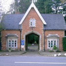
Boston Cemetery Lodge
4 km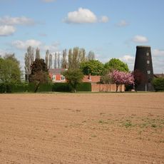
Butterwick Mill
1.7 km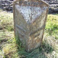
Milepost On A52 South Side, 100 Yards East Of Rochford Tower Lane
1.7 km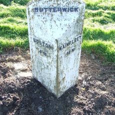
Mile Post, West Of Junction With Mill Lane
1.5 km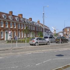
The Georgians
3.9 km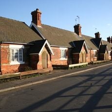
30-39, Willoughby Road
3.8 km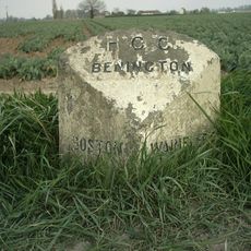
Milepost, Benington, N of jct with Butterwick Road
3.1 kmReviews
Visited this place? Tap the stars to rate it and share your experience / photos with the community! Try now! You can cancel it anytime.
Discover hidden gems everywhere you go!
From secret cafés to breathtaking viewpoints, skip the crowded tourist spots and find places that match your style. Our app makes it easy with voice search, smart filtering, route optimization, and insider tips from travelers worldwide. Download now for the complete mobile experience.

A unique approach to discovering new places❞
— Le Figaro
All the places worth exploring❞
— France Info
A tailor-made excursion in just a few clicks❞
— 20 Minutes