
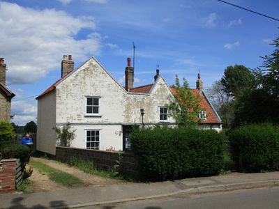
47-51, High Street, building in Northwold, King's Lynn and West Norfolk, Norfolk, UK
Location: Northwold
Address: 47-51, High Street, Northwold, King's Lynn and West Norfolk, Norfolk, IP26
GPS coordinates: 52.54307,0.58677
Latest update: March 2, 2025 23:47
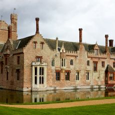
Oxburgh Hall
4.4 km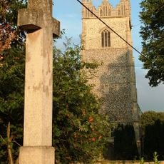
Church of St Andrew
84 m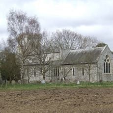
Church of St Michael
2.4 km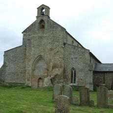
Church of All Saints
2.1 km
Church of St John
4.5 km
Church of St George
3.2 km
Church of St Mary
3.5 km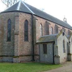
Church of the Immaculate Conception of the Blessed Virgin Mary and St Margaret
4.4 km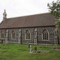
Christchurch
4.5 km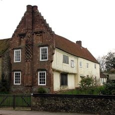
The Old Vicarage
3.2 km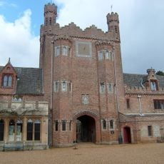
Park Boundary Wall Including Tower And Gateway
4.4 km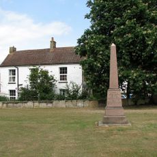
Methwold War Memorial
2.8 km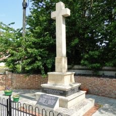
Northwold War Memorial
31 m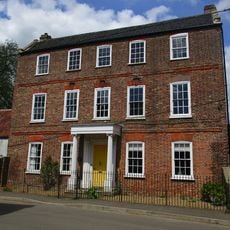
43, High Street
30 m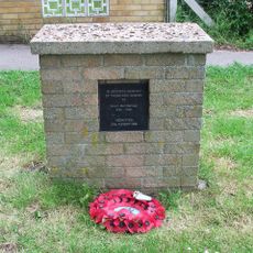
RAF Methwold Memorial
3 km
The Lodge
4.5 km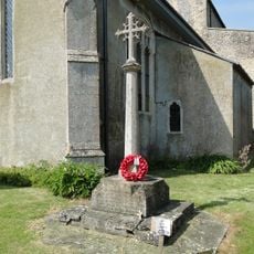
War Memorial
2.1 km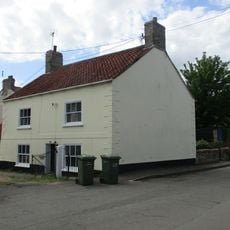
44, High Street
44 m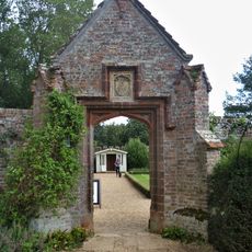
Pedestrian Gateway Approximately 70 Metres North East Of Oxburgh Hall
4.4 km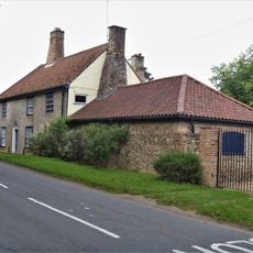
Hall Farmhouse
4.5 km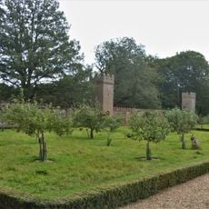
Garden Wall With Towers
4.4 km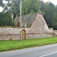
Chapel Lodge
4.5 km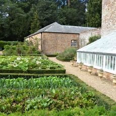
Former Stables, Coach House And Attached Gate Posts
4.5 km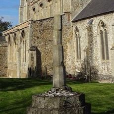
Cross in Churchyard of St George
3.2 km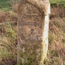
Milestone, Stoke Rd, Brookeville at jct with Scotts Lane
2.2 km
Milestone, Brandon Rd, Methwold
3.1 km
Milestone, Methwold Rd, Whittington
4 km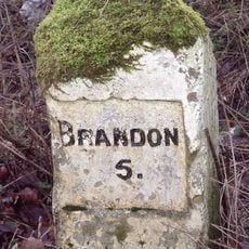
Milestone, 100m S of entrance to caravan park at Methwold Warren
4.1 kmVisited this place? Tap the stars to rate it and share your experience / photos with the community! Try now! You can cancel it anytime.
Discover hidden gems everywhere you go!
From secret cafés to breathtaking viewpoints, skip the crowded tourist spots and find places that match your style. Our app makes it easy with voice search, smart filtering, route optimization, and insider tips from travelers worldwide. Download now for the complete mobile experience.

A unique approach to discovering new places❞
— Le Figaro
All the places worth exploring❞
— France Info
A tailor-made excursion in just a few clicks❞
— 20 Minutes