
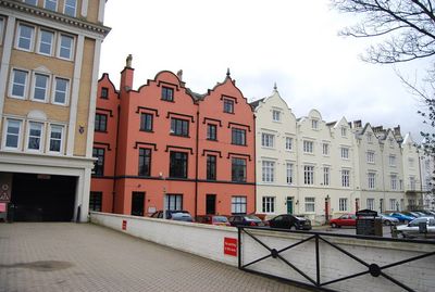
11-29, Church Road, terrace of houses in Tunbridge Wells, Kent, UK
Location: Tunbridge Wells
Address: 11-29, Church Road, Tunbridge Wells, Kent, TN1
GPS coordinates: 51.13224,0.26134
Latest update: March 7, 2025 00:48
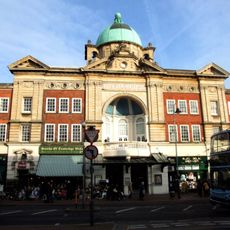
Opera House, Royal Tunbridge Wells
250 m
Trinity Theatre
85 m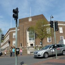
Tunbridge Wells Town Hall
183 m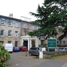
Hotel du Vin
281 m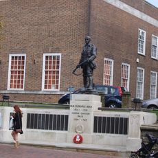
Tunbridge Wells War Memorial
183 m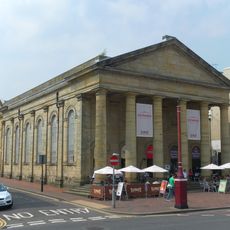
Lecture Hall Mount Pleasant Congregational Church
187 m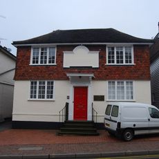
26, Church Road
83 m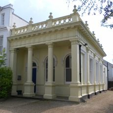
York Road Meeting Room
128 m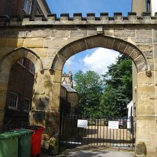
Archway Leading To Nos 2 And 3 Church Road
151 m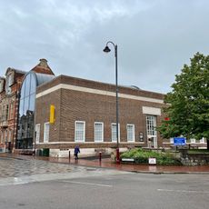
Tunbridge Wells Museum & Art Gallery
274 m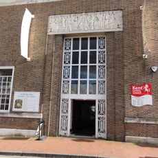
Tunbridge Wells Library
209 m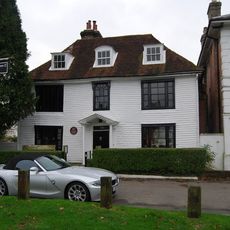
Rock Villa
287 m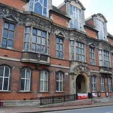
Tunbridge Wells Adult Education Centre
240 m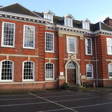
Tunbridge Wells And Counties Club
287 m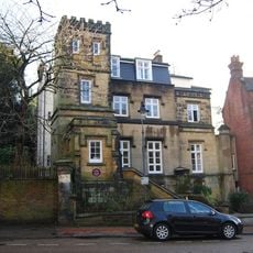
Vale Towers
201 m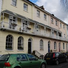
6-14, York Road
155 m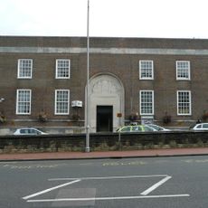
Police Station And Courts
246 m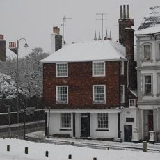
68 London Road
133 m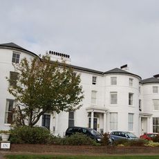
63-65, Mount Ephraim
307 m
The Priory
125 m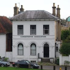
84, London Road
273 m
9 And 10, Crescent Road
275 m
Ashton Lodge
120 m
82, Mount Pleasant Road
162 m
Tunbridge Wells Central Railway Station Up Side
249 m
8-36, Monson Road
323 m
77, London Road
183 m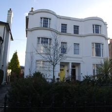
70 And 71, London Road
128 mVisited this place? Tap the stars to rate it and share your experience / photos with the community! Try now! You can cancel it anytime.
Discover hidden gems everywhere you go!
From secret cafés to breathtaking viewpoints, skip the crowded tourist spots and find places that match your style. Our app makes it easy with voice search, smart filtering, route optimization, and insider tips from travelers worldwide. Download now for the complete mobile experience.

A unique approach to discovering new places❞
— Le Figaro
All the places worth exploring❞
— France Info
A tailor-made excursion in just a few clicks❞
— 20 Minutes