
Coatham Mill Mill House Millers Loft The Granary, building in Coatham Mundeville, Darlington, County Durham, UK
Location: Coatham Mundeville
GPS coordinates: 54.58049,-1.55159
Latest update: December 1, 2025 16:50
Redcar Field
837 m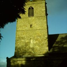
Church of St Andrew
1.7 km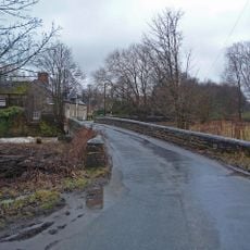
Mill Bridge
28 m
Ketton Hall
1.4 km
Coatham Mundeville medieval village, fishpond and areas of rig and furrow
528 m
Hodgson Chest Tomb, 5 M. South Of South Porch Of Church Of St. Andrew
1.7 km
Hall Garth
106 m
Oakles Farmhouse
1.9 km
Windmill, 500 Metres East Of Holme Mill House
1.3 km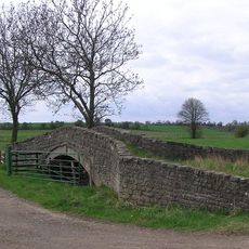
Ketton Bridge
1.8 km
Manor Farmhouse and Adjoining Farmbuilding
551 m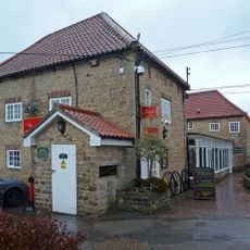
The Stables Bar And Restaurant, Front Wall And Piers To East Of Hall Garth
79 m
Deer House South Of Hall Garth
360 m
Curved Wall To South East Of Coatham Hall
392 m
Threshing Barn And Gin Gang 10 Metres West Of Number 24 (Manor Farmhouse)
513 m
Stable 30 Metres North Of High Beaumont Hill Farmhouse
1.4 km
3, The Green
1.9 km
14, High Street
1.9 km
Peartree House
1.6 km
Coatham Hall
417 m
Coatham Hall Farmhouse
551 m
Crossing Keeper's Cottage
1.7 km
Glebe Farmhouse And Front Garden Wall
364 m
Foresters Arms
347 m
U Plan Farmbuildings And Gin Gang North Of Peartree House
1.6 km
Cart Shed With Loose Box And Pigsty 5 Metres North Of High Beaumont Hill Farmhouse
1.4 km
Headstone To John Gibson, 7 Metres South Of South Porch Of Church Of St Andrew
1.7 km
Aycliffe War Memorial
1.7 kmReviews
Visited this place? Tap the stars to rate it and share your experience / photos with the community! Try now! You can cancel it anytime.
Discover hidden gems everywhere you go!
From secret cafés to breathtaking viewpoints, skip the crowded tourist spots and find places that match your style. Our app makes it easy with voice search, smart filtering, route optimization, and insider tips from travelers worldwide. Download now for the complete mobile experience.

A unique approach to discovering new places❞
— Le Figaro
All the places worth exploring❞
— France Info
A tailor-made excursion in just a few clicks❞
— 20 Minutes