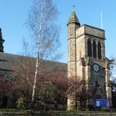
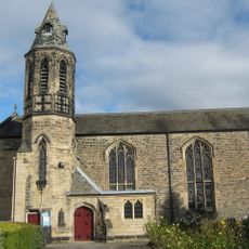
67 And 69, Stanhope Road, building in Darlington, County Durham, UK
Location: Darlington
Address: 67 And 69, Stanhope Road, Darlington, County Durham, DL3
GPS coordinates: 54.52571,-1.56272
Latest update: November 17, 2025 03:49

Church of Holy Trinity
259 m
Roman Catholic Church of St Augustine
271 m
35, Bondgate
290 m
45 And 47, Bondgate
276 m
The Presbytery
300 m
2-5, Friends' School Yard
310 m
33, Bondgate
295 m
The Slaters Arms
268 m
Bondgate Motors
258 m
36, Coniscliffe Road
315 m
Walls Of The Friends Meeting House Around South West Corner Of Quaker Burial Ground
272 m
26, Coniscliffe Road
336 m
21, Skinnergate
331 m
Number 39 Including Rear Premises Fronting On To Burns' Yard
333 m
81, Bondgate
335 m
20, Skinnergate
331 m
Bondgate Methodist Church
265 m
44, Bondgate
276 m
Forecourt Walls To Numbers 67 And 69
10 m
Steps, Ramp, Rail And Lampholder To North Of Holy Trinity Church
275 m
38 And 40, Coniscliffe Road
321 m
31 And 32, Bondgate
300 m
34, Bondgate
292 m
49, Bondgate
271 m
53, Bondgate
264 m
67, Bondgate
291 m
Forecourt Wall To No 36
326 m
Walls, Gates And Piers To North And West Of Church Of Holy Trinity
292 mReviews
Visited this place? Tap the stars to rate it and share your experience / photos with the community! Try now! You can cancel it anytime.
Discover hidden gems everywhere you go!
From secret cafés to breathtaking viewpoints, skip the crowded tourist spots and find places that match your style. Our app makes it easy with voice search, smart filtering, route optimization, and insider tips from travelers worldwide. Download now for the complete mobile experience.

A unique approach to discovering new places❞
— Le Figaro
All the places worth exploring❞
— France Info
A tailor-made excursion in just a few clicks❞
— 20 Minutes