
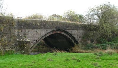
Inghey Bridge, bridge in Stirton with Thorlby, Craven, North Yorkshire, UK
Location: Stirton with Thorlby
GPS coordinates: 53.96101,-2.06059
Latest update: September 23, 2025 16:47
St Stephen's Church, Skipton
2.6 km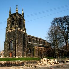
Christ Church
2.7 km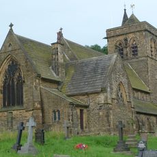
Church of St Mary
2.2 km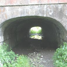
Tunnel Under Leeds And Liverpool Canal
358 m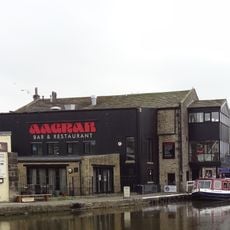
The Barge Inn
2.7 km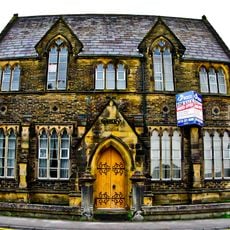
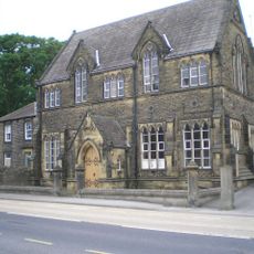
Roman Catholic Primary School And Schoolhouse
2.6 km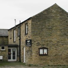
Skipton Little Theatre
2.6 km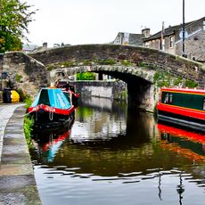
New Bridge
2.7 km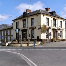
Craven Hotel
2.6 km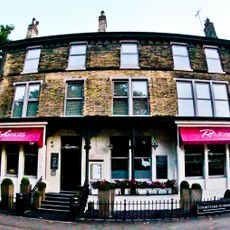
Midland Hotel
2.3 km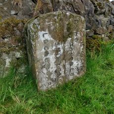
Boundary Stone
1.5 km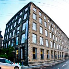
Dewhurst's Mill
2.4 km
5 And 7, Albert Street
2.7 km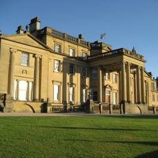
Broughton Hall
2 km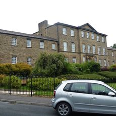
Administration Block Of Raikeswood Hospital
2.4 km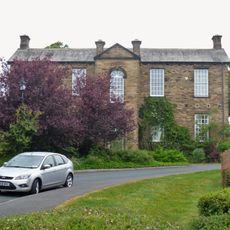
Nurses Home Of Raikeswood Hospital
2.4 km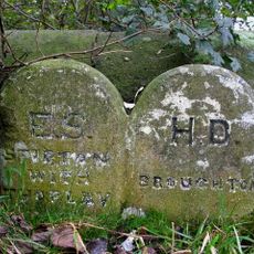
Boundary Stone At Abutment Of Inghey Bridge
61 m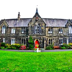
St Monica's Convent
2.7 km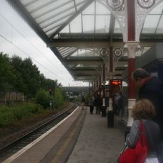
Canopy To South Of Skipton Railway Station
2.2 km
Fire Station, Coach Street
2.7 km
The Dales Outdoor Centre. Pennine Boats Office.
2.7 km
Victoria Mill And Associated Mill Chimney
2.6 km
Trappes Hall
2.2 km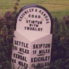
Milestone, W of traffic island at N end of Skipton by-pass
966 m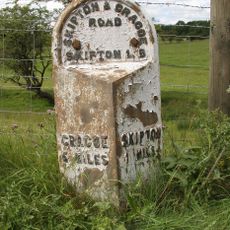
Milestone, Grassington Road, 400m N of Skipton by-pass
2.6 km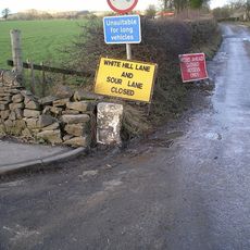
Guidestone, Stirton Lane
1.2 km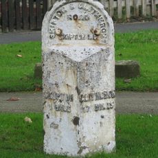
Milestone, nr Broughton Grove, E end of Skipton
1.4 km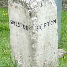
Guidestone, A65 jct, Sour Lane
1.2 kmReviews
Visited this place? Tap the stars to rate it and share your experience / photos with the community! Try now! You can cancel it anytime.
Discover hidden gems everywhere you go!
From secret cafés to breathtaking viewpoints, skip the crowded tourist spots and find places that match your style. Our app makes it easy with voice search, smart filtering, route optimization, and insider tips from travelers worldwide. Download now for the complete mobile experience.

A unique approach to discovering new places❞
— Le Figaro
All the places worth exploring❞
— France Info
A tailor-made excursion in just a few clicks❞
— 20 Minutes