
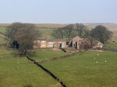
Shireoaks Farmhouse, Grade II listed farmhouse in the parish of Chinley, Buxworth and Brownside, High Peak, Derbyshire, UK
Location: Chinley, Buxworth and Brownside
GPS coordinates: 53.34586,-1.89485
Latest update: March 5, 2025 16:56
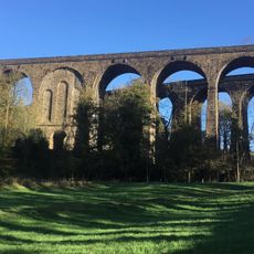
Chapel Milton Viaduct
2.1 km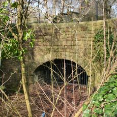
Stodhart Tunnel
2.1 km
Church of St Thomas of Canterbury
2.7 km
Townend Methodist Church
2.6 km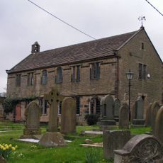
Chinley Independent Chapel
2 km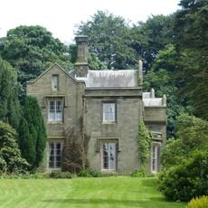
Bowden Hall
1.6 km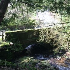
Ford Hall Bridge
1.2 km
Gate piers, railings and gates to south of Church of St Thomas Becket
2.8 km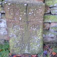
Tombstone at Friends Burial Ground 4.5 metres north of Chestnut Farmhouse
1.4 km
Trout Beck
1.1 km
Standing cross in the churchyard of St Thomas Becket Church
2.8 km
Bowden Head Farmhouse
1.2 km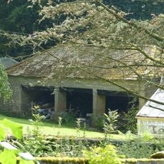
Cartshed to north west of Bowden Hall
1.5 km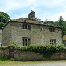
The Smithy
1.5 km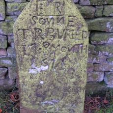
Tombstone at Friends Burial Ground four Metres North of Chestnut Farmhouse
1.4 km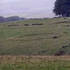
Green Low ringcairn
1.3 km
Hearse House
2.7 km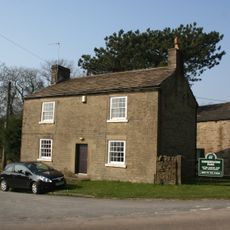
Chestnut Farmhouse
1.4 km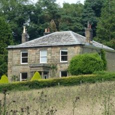
Slack Hall
1.8 km
Barn At Malcoff Farm
476 m
Rushup Hall
2.6 km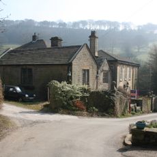
Ford Hall
1.1 km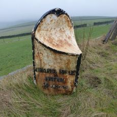
Milepost 230 Metres From Rushop Lane Junction
2.4 km
Stabling at Bowden Hall
1.5 km
Slack House Farmhouse And Barn
1.3 km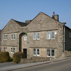
Slackhall Farmhouse
1.4 km
Malcoff Farmhouse
449 m
Anglo Scandinavian high cross in the churchyard of St Thomas Becket Church
2.7 kmVisited this place? Tap the stars to rate it and share your experience / photos with the community! Try now! You can cancel it anytime.
Discover hidden gems everywhere you go!
From secret cafés to breathtaking viewpoints, skip the crowded tourist spots and find places that match your style. Our app makes it easy with voice search, smart filtering, route optimization, and insider tips from travelers worldwide. Download now for the complete mobile experience.

A unique approach to discovering new places❞
— Le Figaro
All the places worth exploring❞
— France Info
A tailor-made excursion in just a few clicks❞
— 20 Minutes