
Hook Norton, village and civil parish in Cherwell district, Oxfordshire, England
Location: Cherwell
Shares border with: Sibford Gower, Rollright, Swerford, Wigginton, Swalcliffe, Sibford Ferris, Little Tew
Website: http://hook-norton.org.uk
GPS coordinates: 52.00000,-1.48000
Latest update: March 2, 2025 22:52
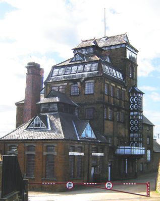
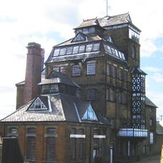
Hook Norton Brewery
1.1 km
Swerford Castle
2.8 km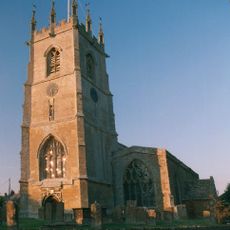
Church of St Peter
587 m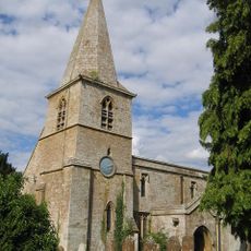
Church of St Mary
2.9 km
Church of Saint Giles
3.3 km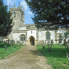
Church of St Andrew
3.8 km
Church End
2.8 km
Baptist Chapel
707 m
Church End House
3.9 km
Swerford War Memorial
2.9 km
Timms Memorial Approximately 10 Metres South East Of Church Of St Andrew
3.8 km
Benacre Cottage
802 m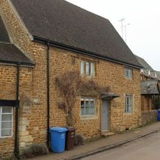
The Old Post Office
308 m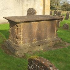
Harbiage Memorial Approximately 10 Metres South Of Chancel Of Church Of St Andrew
3.8 km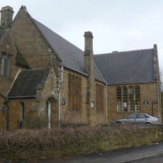
Hook Norton Library
632 m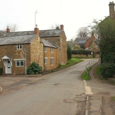
The Old Surgery
203 m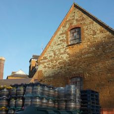
Malthouse At Hook Norton Brewery
1 km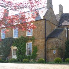
Old Rectory
2.9 km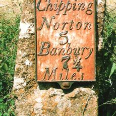
Milestone Approximately 250 Metres West Of The Masons Arms
3.7 km
House To Right Of The Old Sweet Shop
689 m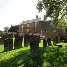
Priestfield
617 m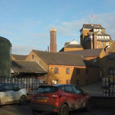
Office Block At Hook Nortomn Brewery
1 km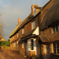
The Old Sweet Shop
692 m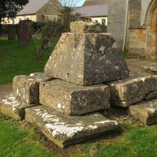
Churchyard Cross And 2 Tombs Approximately 8 Metres South Pf South Aisle Of Church Of St Andrew
3.8 km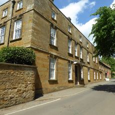
Sibford School
3.7 km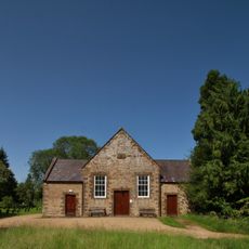
Sibford Quaker Meeting House
4.2 km
Petra
697 m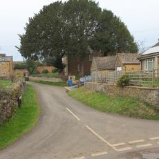
Marrie Mount
871 mReviews
Visited this place? Tap the stars to rate it and share your experience / photos with the community! Try now! You can cancel it anytime.
Discover hidden gems everywhere you go!
From secret cafés to breathtaking viewpoints, skip the crowded tourist spots and find places that match your style. Our app makes it easy with voice search, smart filtering, route optimization, and insider tips from travelers worldwide. Download now for the complete mobile experience.

A unique approach to discovering new places❞
— Le Figaro
All the places worth exploring❞
— France Info
A tailor-made excursion in just a few clicks❞
— 20 Minutes