
Leigh, village and civil parish in Surrey, United Kingdom
Location: Mole Valley
Shares border with: Buckland
GPS coordinates: 51.21030,-0.25820
Latest update: March 3, 2025 23:49
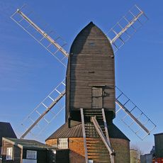
Reigate Heath Windmill
3.4 km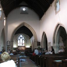
Church of St Michael
2.7 km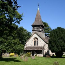
Church of St Bartholomew
709 m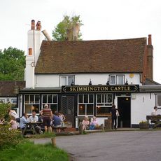
The Skimmington Castle Public House
3.3 km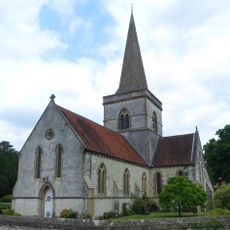
Christ Church
3 km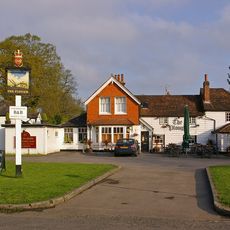
The Plough Inn
617 m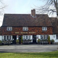
The Seven Stars Public House
45 m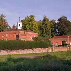
Betchworth House
2.5 km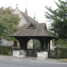
War Memorial Lych Gate, Emmanuel Church, Sidlow
4.1 km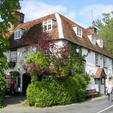
The Dolphin Public House
2.7 km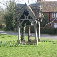
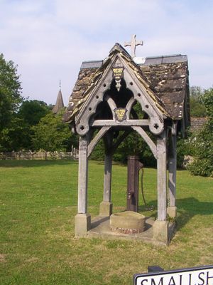
Well Head On Village Green
662 m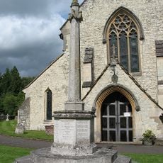
Betchworth War Memorial (In St Michael's Churchyard)
2.7 km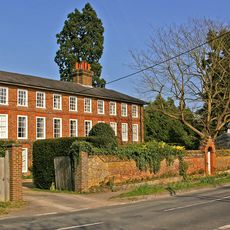
The Old House
2.8 km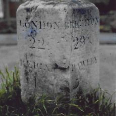
Milestone To North Of Sandcross Lane Corner
4.2 km
Littleton Manor Farm House
2.9 km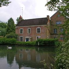
Wonham Mill House
2.6 km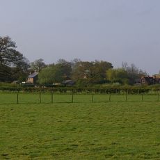
Old Swaynes Farm House
1.7 km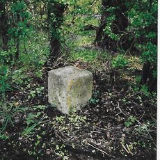
Milestone, Reigate Road, 80m N of Horseshoe Farm, Duxhurst
4.8 km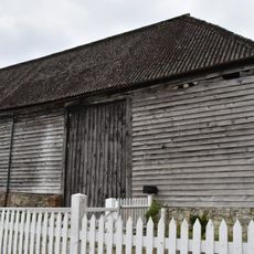
Barn To Right Of Dungates Farm House
3.1 km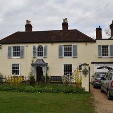
Old Inn Lodge
3.2 km
Dovers Green Farmhouse
4.1 km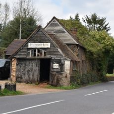
Betchworth Forge
2.7 km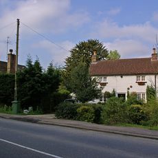
150, Dovers Green Road
3.9 km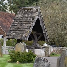
Lych Gate to Church of St Michael
2.7 km
Petersfield Farm House
4.1 km
More Place
2.8 km
Former Stables To More Place
2.8 km
Milestone, Reigate Road, ¼ mile S of Sidlow Bridge
4.1 kmVisited this place? Tap the stars to rate it and share your experience / photos with the community! Try now! You can cancel it anytime.
Discover hidden gems everywhere you go!
From secret cafés to breathtaking viewpoints, skip the crowded tourist spots and find places that match your style. Our app makes it easy with voice search, smart filtering, route optimization, and insider tips from travelers worldwide. Download now for the complete mobile experience.

A unique approach to discovering new places❞
— Le Figaro
All the places worth exploring❞
— France Info
A tailor-made excursion in just a few clicks❞
— 20 Minutes