
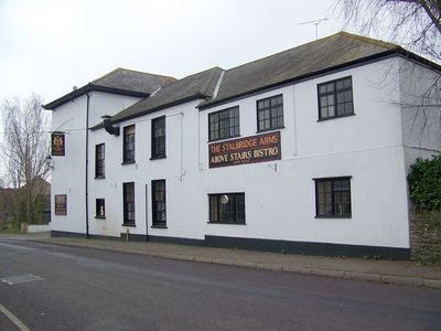
Stalbridge Arms Public House, pub in Stalbridge, North Dorset, Dorset, UK
Location: Stalbridge
Address: Ring Street, Stalbridge, Sturminster Newton, Dorset, DT10 2NF DT10 2NF DT10 2NF
GPS coordinates: 50.95674,-2.37546
Latest update: March 4, 2025 00:19
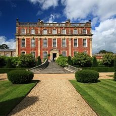
Ven House
5.7 km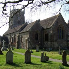
Church of St Nicholas
2.6 km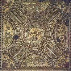
Hinton St Mary villa
5 km
Church of St Peter
5.2 km
Parish Church of St Thomas A'Beckett
4.2 km
Parish Church of St Peter
3.3 km
Parish Church of St Peter
4.1 km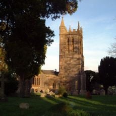
Church of St Mary
746 m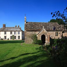
Church of St Barnabas
4.8 km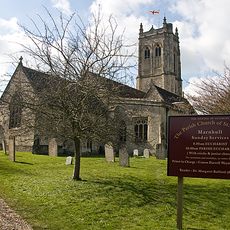
Church of St Gregory
4.6 km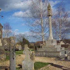
War Memorial in Marnhull Churchyard
4.6 km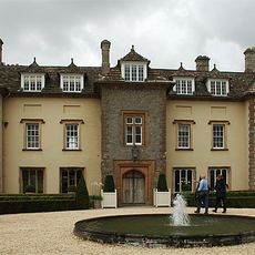
Thornhill House
2.6 km
Kings Mill Bridge
2.9 km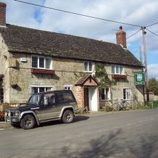
The White Horse
5.1 km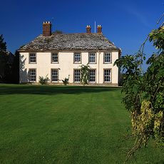
Stock Gaylard House
4.8 km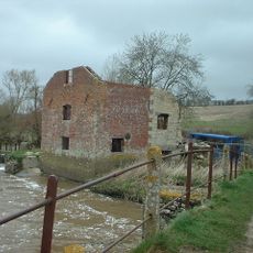
Cutt Mill
4 km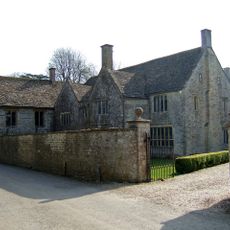
The Manor House And Attached Walls North And South
4.2 km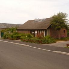
Stalbridge Library
388 m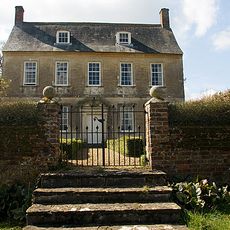
Dalton's Farmhouse Including Front Garden Walls
5.1 km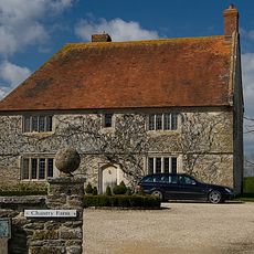
Chantry Farm
3.5 km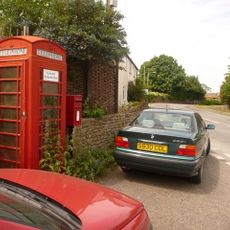
Letter Box And Wall, Immediately East Of The Warren
4.2 km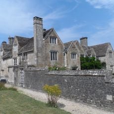
The Manor House
5.2 km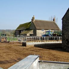
Woodbridge Farmhouse
5.8 km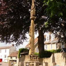
Market Cross
509 m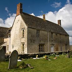
Senior's Farmhouse And Attached Barn
4.5 km
Milestone, Bow Bridge; 2m back from road opp. Bow Bridge Cottage (tollhouse?)
4 km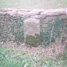
Milestone, SW of Henstridge, nr Toomer Farm
3.7 km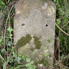
Milestone, 50m E of Bellman's Cross
3.2 kmReviews
Visited this place? Tap the stars to rate it and share your experience / photos with the community! Try now! You can cancel it anytime.
Discover hidden gems everywhere you go!
From secret cafés to breathtaking viewpoints, skip the crowded tourist spots and find places that match your style. Our app makes it easy with voice search, smart filtering, route optimization, and insider tips from travelers worldwide. Download now for the complete mobile experience.

A unique approach to discovering new places❞
— Le Figaro
All the places worth exploring❞
— France Info
A tailor-made excursion in just a few clicks❞
— 20 Minutes