
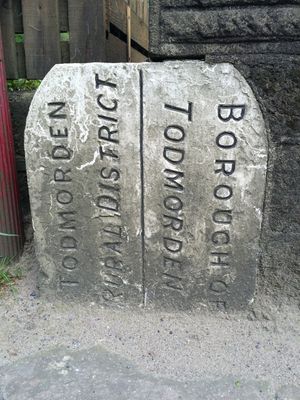
Boundary Stone Built Into Parapet Of Sand Bed Bridge At Ngr 969262
Boundary Stone Built Into Parapet Of Sand Bed Bridge At Ngr 969262, boundary marker in Todmorden, Calderdale, West Yorkshire, UK
Location: Todmorden
Part of: political border
GPS coordinates: 53.73226,-2.04704
Latest update: March 2, 2025 23:54
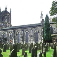
Church of St James
1.9 km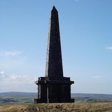
Stoodley Pike Monument
2 km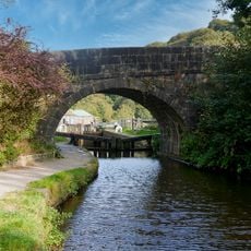
Lobb Mill Bridge
2.2 km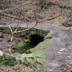
Bridge Over Stream
1 km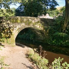
Rochdale Canal Bridge At Burnt Acres Wood Bottom
281 m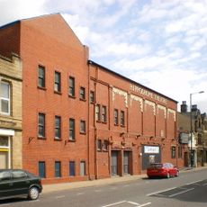
Hippodrome Theatre
981 m
Shaw Wood Bridge Over The Rochdale Canal
1.8 km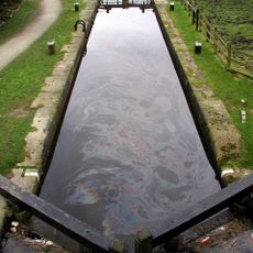
Rochdale Canal Lock 16 Lobb Mill Lock
2.2 km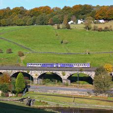
Lobb Mill Viaduct
2.2 km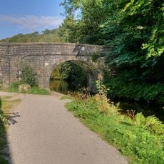
Stoodley Bridge
1.3 km
Cruttonstall
599 m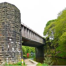
Railway bridge MVN2/124 over Rochdale Canal
1.4 km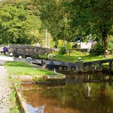
Rochdale Canal Lock 15 Shawplains Lock
1.8 km
Hebble Hole Footbridge
2 km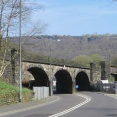
Whitely Arches Viaduct
1.3 km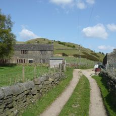
Height Gate Farmhouse And Attached Barn
1.1 km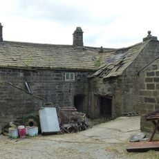
Great Lear Ings
2.3 km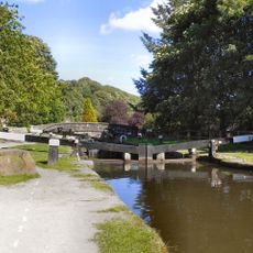
Rochdale Canal Lock Number 9 And Attached Footbridge
2.3 km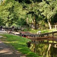
Rochdale Canal Lock 14 Holmcoat Bridge Lock
1 km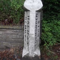
Milestone 50 Metres To North Of Duke Street At Ngr Sd 964253
1 km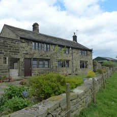
Little Learings Farmhouse
2.3 km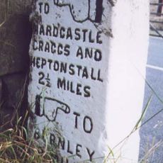
Guide Post At Junction With Old Shaw Lane
1.8 km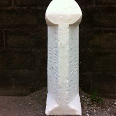
Milestone Attached To North Wall Of Callis Mill
586 m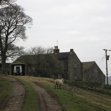
Edge End Farmhouse
922 m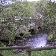
Black Pit Aqueduct
2.3 km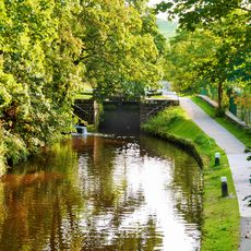
Rochdale Canal Lock Number 13 (Callis Lock)
215 m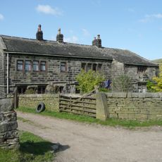
Height Farmhouse
1 km
Swallowshaw And Attached Barn
2 kmReviews
Visited this place? Tap the stars to rate it and share your experience / photos with the community! Try now! You can cancel it anytime.
Discover hidden gems everywhere you go!
From secret cafés to breathtaking viewpoints, skip the crowded tourist spots and find places that match your style. Our app makes it easy with voice search, smart filtering, route optimization, and insider tips from travelers worldwide. Download now for the complete mobile experience.

A unique approach to discovering new places❞
— Le Figaro
All the places worth exploring❞
— France Info
A tailor-made excursion in just a few clicks❞
— 20 Minutes