
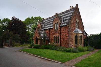
Higher Cemetery Lodge, caretaker's house in Exeter, Devon, UK
Location: Exeter
Made from material: Heavitree stone
Part of: Exeter Higher Cemetery
GPS coordinates: 50.72890,-3.50823
Latest update: March 10, 2025 01:52
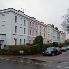
1-15, Regent's Park
491 m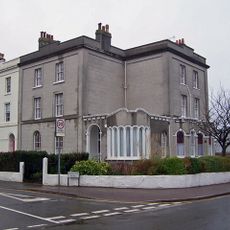
2-6, Regent's Park
555 m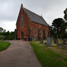
Northern Mortuary Chapel, Exeter Cemetery
62 m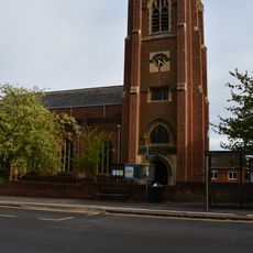
St. Mark's Church
171 m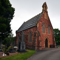
Southern Mortuary Chapel Higher Cemetery
114 m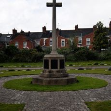
City of Exeter War Memorial Cross, Higher Cemetery
115 m
Seldon House
571 m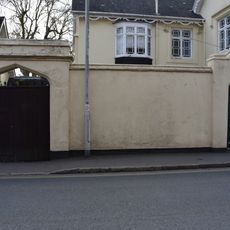
Garden Wall Of St John's Cottage
377 m
Stables Of St John's Cottage
379 m
37 Polsloe Road
343 m
9-14, Mont Le Grand
562 m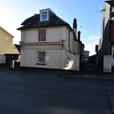
7, Mount Pleasant Road
499 m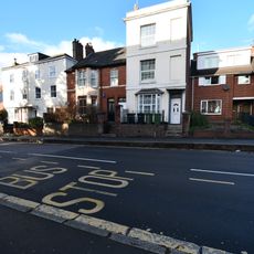
42 Blackboy Road
574 m
2, Bicton Place
590 m
13 & 14 (1-10 Clifton Court), Clifton Hill
482 m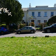
Collingwood House
582 m
41-62 (consec), Polsloe Road
434 m
1a (Building to rear of 11-15), Hamlin Lane
538 m
4, Goldsmith Street
536 m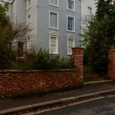
7 And 8, Mont Le Grand
590 m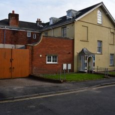
1 & 2 Clifton Hill
389 m
11 And 12, Clifton Hill
460 m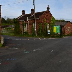
Former Brickworks Office
563 m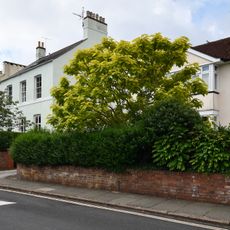
53 Homefield Road
584 m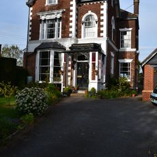
39 Polsloe Road
353 m
5-10, Clifton Hill
430 m
49-52, Blackboy Road
536 m
51 Homefield Road (now part of Bramdean School)
591 mReviews
Visited this place? Tap the stars to rate it and share your experience / photos with the community! Try now! You can cancel it anytime.
Discover hidden gems everywhere you go!
From secret cafés to breathtaking viewpoints, skip the crowded tourist spots and find places that match your style. Our app makes it easy with voice search, smart filtering, route optimization, and insider tips from travelers worldwide. Download now for the complete mobile experience.

A unique approach to discovering new places❞
— Le Figaro
All the places worth exploring❞
— France Info
A tailor-made excursion in just a few clicks❞
— 20 Minutes