
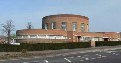
Southfields Library, public library in Leicester, Leicestershire
Location: City of Leicester
Elevation above the sea: 82.86154 m
GPS coordinates: 52.59679,-1.14034
Latest update: March 6, 2025 12:34
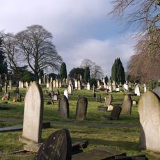
Welford Road Cemetery
2.8 km
Fielding Johnson Building
2.8 km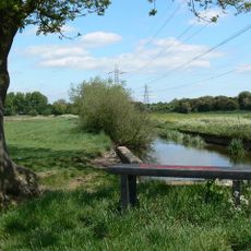
Aylestone Meadows
1.6 km
Church of St Thomas
1.9 km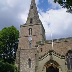
St Andrew's Church, Aylestone
1.4 km
Church of All Saints
2.7 km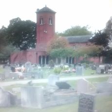
Saffron Hill Cemetery
756 m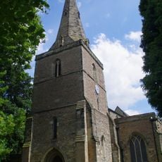
Church of St Andrew
1.4 km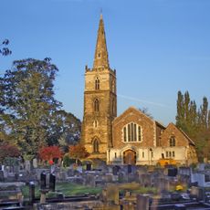
Church of St Mary Magdalene
1.9 km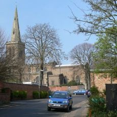
Church of All Saints
2.6 km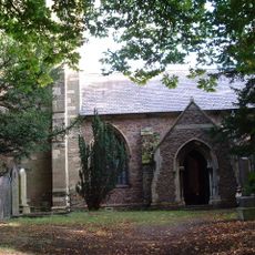
Church of St Wistan
2.8 km
National Gas Museum Trust
2.2 km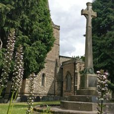
Aylestone War Memorial
1.4 km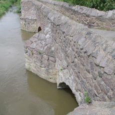
Aylestone Old Bridge
1.7 km
Odeon Leicester
2.6 km
The Bakers Arms Public House
2.7 km
South Wigston War Memorial
1.9 km
Aylestone Hall
1.3 km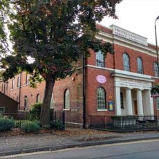
United Reformed Church and Boundary Railings
2.7 km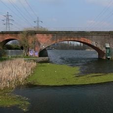
Twelve Arches Bridge
2.6 km
The Manor Restaurant
2.2 km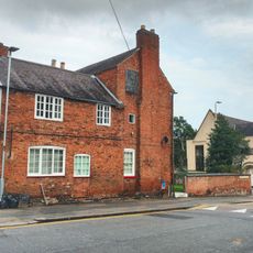
Avenue House
2.6 km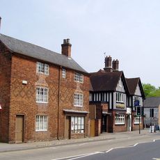
42 And 44, Bushloe End
2.5 km
34, Long Street
2.6 km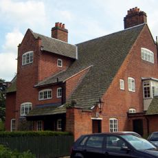
Inglewood
2.7 km
Wigston Framework Knitters Museum
2.5 km
Wheatsheaf Works
1.9 km
2, Newgate End
2.7 kmReviews
Visited this place? Tap the stars to rate it and share your experience / photos with the community! Try now! You can cancel it anytime.
Discover hidden gems everywhere you go!
From secret cafés to breathtaking viewpoints, skip the crowded tourist spots and find places that match your style. Our app makes it easy with voice search, smart filtering, route optimization, and insider tips from travelers worldwide. Download now for the complete mobile experience.

A unique approach to discovering new places❞
— Le Figaro
All the places worth exploring❞
— France Info
A tailor-made excursion in just a few clicks❞
— 20 Minutes