
The Drinking Fountain, fountain in Brenchley, Tunbridge Wells, Kent, UK
Location: Brenchley and Matfield
GPS coordinates: 51.15059,0.40014
Latest update: April 9, 2025 11:06
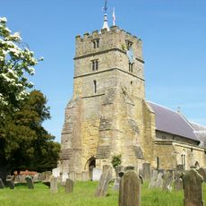
Parish Church of All Saints
66 m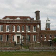
Matfield House
2.1 km
St Andrew's Church, Paddock Wood
3.1 km
Chapel Of Ease Of St Luke
2.7 km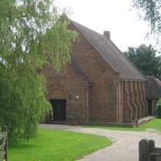
Ebenezer Church (Matfield)
1.9 km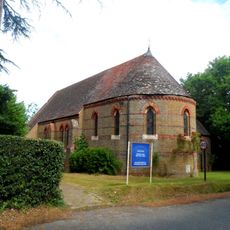
All Saints Roman Catholic Church
2.6 km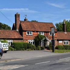
Standings Cross Public House
1.9 km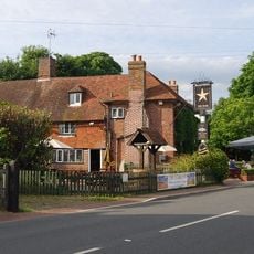
The Star Public House
2 km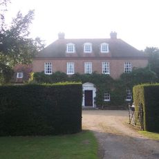
Sprivers
2.3 km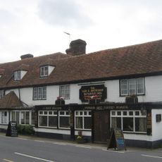
The Gun And Spitroast Public House And Rear Courtyard
2.4 km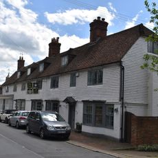
The Rose And Crown Public House
97 m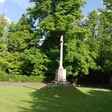
Matfield War Memorial
2.7 km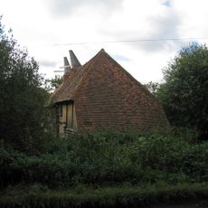
Barn Incorporating Oasthouse About 50 Metres North East Of Catts Place
2.3 km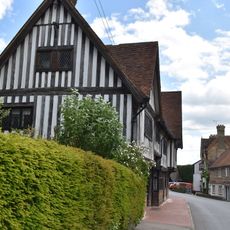
The Old Palace
54 m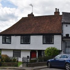
The Old Vicarage
28 m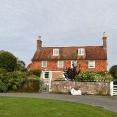
Hatherliegh Including Garden Walls And Gate To The East
2.2 km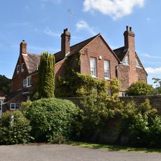
Gatehouse Farmhouse
322 m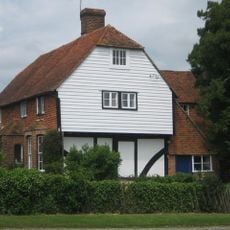
Yew Tree Farmhouse
2.4 km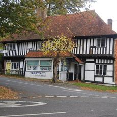
Terry's Town Farm Cottage Town Farmhouse
20 m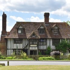
The Old Workhouse
197 m
Milestone Cottages
2.1 km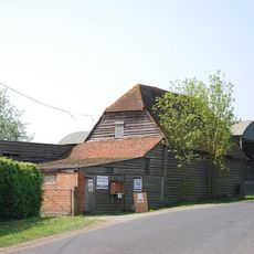
Barn About 50 Metres South Of Yew Tree Farmhouse
2.4 km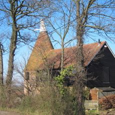
Oasthouse Immediately West Of Mile Oak Farmhouse
2 km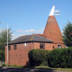
Oasthouse About 40 Metres South West Of Putlands Farmhouse
2.9 km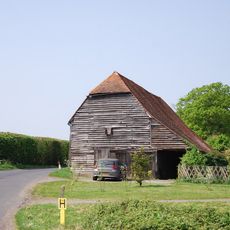
Barn About 30 Metres South Of Yew Tree Farmhouse
2.4 km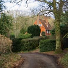
Foxella
3 km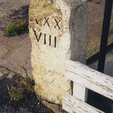
Milestone, Brenchley Road, by Milestone Cottage, W end of village
462 m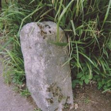
Milestone, Maidstone Road, Matfield by "The Star" PH
2 kmReviews
Visited this place? Tap the stars to rate it and share your experience / photos with the community! Try now! You can cancel it anytime.
Discover hidden gems everywhere you go!
From secret cafés to breathtaking viewpoints, skip the crowded tourist spots and find places that match your style. Our app makes it easy with voice search, smart filtering, route optimization, and insider tips from travelers worldwide. Download now for the complete mobile experience.

A unique approach to discovering new places❞
— Le Figaro
All the places worth exploring❞
— France Info
A tailor-made excursion in just a few clicks❞
— 20 Minutes