
Horse drinking trough and canopy, Grade II listed building in York, England
Location: City of York
Inception: 1883
GPS coordinates: 53.96991,-1.09719
Latest update: March 27, 2025 17:41

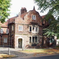
64 And 66, Clifton
287 m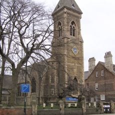
Church of St Philip and St James
93 m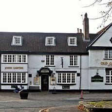
The Old Grey Mare Public House
119 m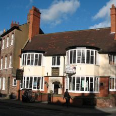
The Burton Stone Inn and attached front wall
406 m
16, Clifton Green
97 m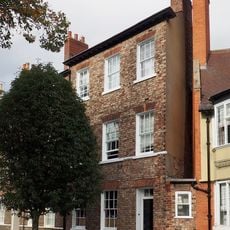
34, Clifton
410 m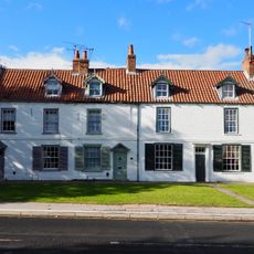
8, 10 and 12, Water End
127 m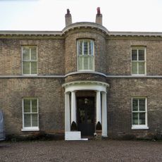
Clifton Croft
233 m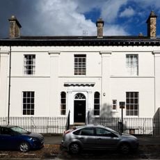
50 Clifton (former Barclays Bank) and attached railings
350 m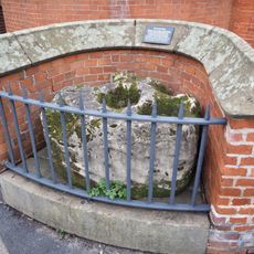
The Burton Stone adjacent to The Burton Stone Inn
417 m
Garden railings fronting road at number 29 Clifton (Music School of St Peter's School)
416 m
68 and 70, Clifton
272 m
St Peters School Annexe
511 m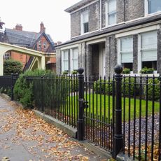
Gates and garden railings to number 18 Clifton
508 m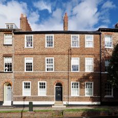
36, Clifton
390 m
John Burrill Homes (NE block)
164 m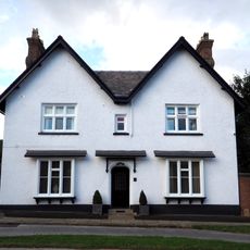
The White House
196 m
John Burrill Homes (NW block)
194 m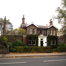
Music School of St Peter's School
407 m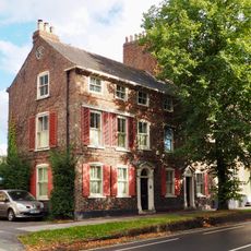
42 and 44, Clifton
374 m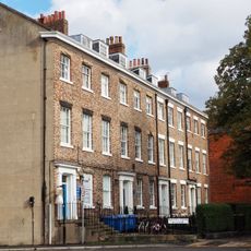
26-32, Clifton
423 m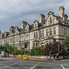
134-140, Clifton Green
52 m
Garden wall and gates approximately 25 metres south east of the John Burrill Homes
170 m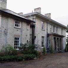
St Hildas Garth
343 m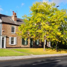
Ellison Terrace
97 m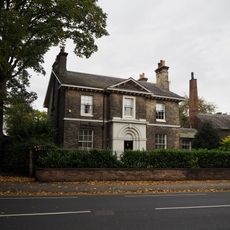
Number 27 Clifton and attached walls and railings
426 m
John Burrill Homes (SW block)
197 m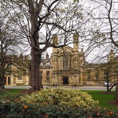
Hall Range And Chapel At St Peters School
496 mReviews
Visited this place? Tap the stars to rate it and share your experience / photos with the community! Try now! You can cancel it anytime.
Discover hidden gems everywhere you go!
From secret cafés to breathtaking viewpoints, skip the crowded tourist spots and find places that match your style. Our app makes it easy with voice search, smart filtering, route optimization, and insider tips from travelers worldwide. Download now for the complete mobile experience.

A unique approach to discovering new places❞
— Le Figaro
All the places worth exploring❞
— France Info
A tailor-made excursion in just a few clicks❞
— 20 Minutes