
Eyhurst Farmhouse, farmhouse in Reigate and Banstead, Surrey, UK
Location: Reigate and Banstead
GPS coordinates: 51.28919,-0.18889
Latest update: April 8, 2025 09:49
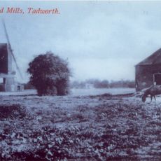
New Mill
2.8 km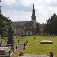
St Andrew's Church
3.3 km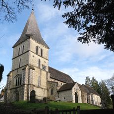
Church of St Katharine, Merstham
3.4 km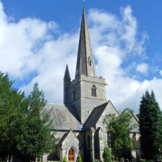
Church of St Andrew
2.2 km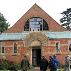
Church of Jesus Christ and the Wisdom of God
2.7 km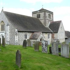
Church of St Margaret, Hooley
2 km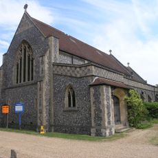
St Mary's
2.8 km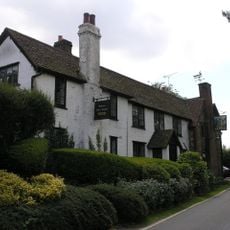
Well House Inn
924 m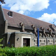
Church of the Good Shepherd
3.3 km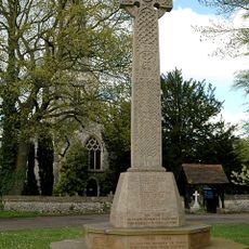
Kingswood and Tadworth War Memorial
2.2 km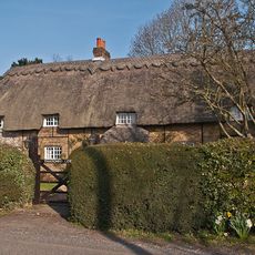
Thatched Cottage
2.5 km
Gatton Town Hall
3.3 km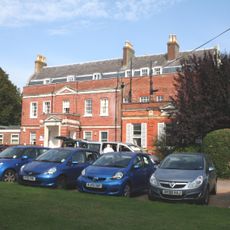
Banstead Place
3.2 km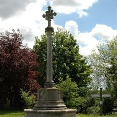
Chipstead War Memorial
1.9 km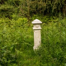
Coal Tax Post At Ngr Tq 23155456
3.5 km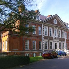
Tadworth Court
2.6 km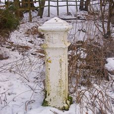
Coal Tax Post Opposite Wooden Cottage
2.4 km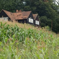
Hoath Farm House
2.7 km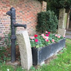
Horse Trough With Pump At Entrance To No 19 (Little Garratts)
3.6 km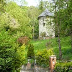
Dovecot In Grounds To North Of Wellhead
3.3 km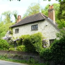
Wellhead
3.3 km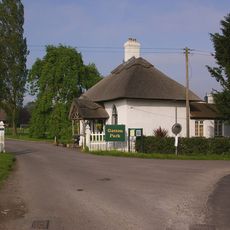
North Lodge, Including Fence And Gate
3.1 km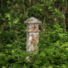
Coal Tax Post At Ngr Tq 23075469
3.6 km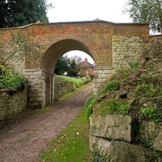
Viaduct
3.4 km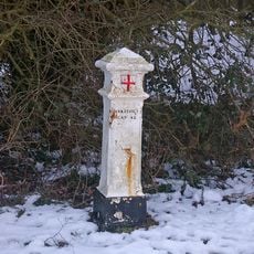
Coal Tax Post At Ngr Tq 23355415
3.6 km
Milestone, Brighton Road, Tadworth, opp. No. 138 and Aberdown School
3.1 km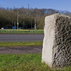
Milestone on Reigate Hill at intersection of M25 with A217 (Junction 8)
3.5 km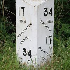
Milepost, Merstham, London Road North, opp. Harpsoar Lane; opp. Harps Oak Lane
2.7 kmReviews
Visited this place? Tap the stars to rate it and share your experience / photos with the community! Try now! You can cancel it anytime.
Discover hidden gems everywhere you go!
From secret cafés to breathtaking viewpoints, skip the crowded tourist spots and find places that match your style. Our app makes it easy with voice search, smart filtering, route optimization, and insider tips from travelers worldwide. Download now for the complete mobile experience.

A unique approach to discovering new places❞
— Le Figaro
All the places worth exploring❞
— France Info
A tailor-made excursion in just a few clicks❞
— 20 Minutes